Stoffenrieder Forest
Coordinates: 48 ° 20 ′ 2 ″ N , 10 ° 15 ′ 11 ″ E
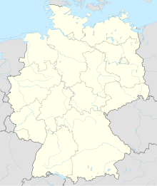
The Stoffenrieder Forest is a 15.79 km² community-free area in the Neu-Ulm district in Bavarian Swabia . The area is completely forested and uninhabited.
geography
The Stoffenrieder forest is located on the eastern border of the Neu-Ulm district and the Günzburg district . The Kötz rises at the southern border of the area and flows through the area to the north. The district road NU 2 crosses the area from west to east . The pond oaks are located in the northern part. The highest point at Wallenhausen is the Rauher Berg at 540 m above sea level. NN .
In the northern part of the area there are some burial mounds as well as a medieval settlement and a medieval castle stables, which are designated as ground monuments. There is a monument on Unteregger Berg, the Fourteen Helpers Chapel.
Neighboring communities
| Pfaffenhofen adRoth market |
City of Ichenhausen |
Waldstetten market |
| City of Weißenhorn |

|
Ellzee municipality |
| Commune Roggenburg |
Community-free area Unterroggenburger Wald |
Community Wiesbachhorn |
use
The area is mainly used for forestry. On the western edge of the area at the height of Wallenhausen there are wells and an elevated tank belonging to the Rauher Berg Group water supply association. In the south-eastern part of the area, an area is designated as a water protection area.
See also
Web links
- Location of the community-free area in OpenStreetMap (accessed on November 27, 2017)


