Birg (Kleinhöhenkirchen)
| Section fortification Birg | ||
|---|---|---|
| Creation time : | 10th century | |
| Castle type : | Section attachment | |
| Conservation status: | Wall and moat remains | |
| Place: | Weyarn -Kleinhöhenkirchen | |
| Geographical location | 47 ° 55 '8.4 " N , 11 ° 47' 31.2" E | |
|
|
||
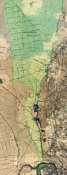
The Birg bei Kleinhöhenkirchen is a Hungarian wall , a section fortification from the Middle Ages, probably from the 10th century, in the Mangfallknie near the hamlet of Kleinhöhenkirchen in the municipality of Weyarn in the Miesbach district in Upper Bavaria . Some peculiarities indicate that the facility has not been completed.
location
The Birg lies on the inside of the bend in the Mangfall, at the beginning of the Grub-Harthausener dry valley . It can be reached from the north via a steep road from Grub (community Valley ) through the Mangfall Gorge and from the south ( federal motorway 8 , Weyarn exit ) via Fentbach, Sonderdilching and Kleinhöhenkirchen.
investment
The Birg complex has two interiors, the largest of which is around 330 m in north-south direction and between 100 and 200 m in east-west direction. It is separated from the plateau to the south by two walls. In the southwest it is protected by a system with a wall and moat made up of three lines. Artificial structures were not necessary in the east and north-west because the steep slopes provided protection here.
Wall I in the south is around 300 m long with a curved course; it has a cut in the middle with an upstream earth ramp. Its western part runs from north-west to south-east, its middle part almost west-east, only to turn north again; here is a modern driveway. Another wall (IIIa) adjoins it to the north. The crown rises up to 10 m above the forecourt and towers over the interior by up to 7 m. Upstream there are two outer trenches in the east and a smaller one in the west.
The southern part of the interior is bounded by an inner south wall (Wall II), the crown of which reaches up to 8 m above the southern and up to 3 m above the northern inner surface, and which ends on the steep slope in the east. In a north-westerly direction, Wall II is continued by Wall IIIb, which is cut through by a modern path.
Wall III is preceded by various wall segments that end on a single line to the south.
literature
- HP Uenze: "Birg" near Kleinhöhenkirchen . Guide to prehistoric and early historical monuments Vol. 18: Miesbach - Tegernsee - Bad Tölz - Wolfratshausen - Bad Aibling, 2nd edition 1971. Verlag Philipp von Zabern , Mainz; Pp. 193–199, with map.


