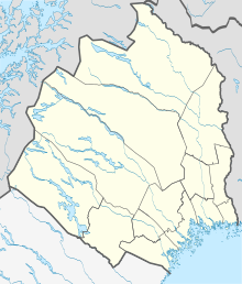
Lainio
| Lainio | ||||
|
||||
| State : | Sweden | |||
| Province (län): | Norrbotten County | |||
| Historical Province (landskap): | Lapland | |||
| Municipality : | Kiruna | |||
| Coordinates : | 67 ° 46 ′ N , 22 ° 21 ′ E | |||
| SCB code : | S9197 | |||
| Status: | Småort | |||
| Residents : | 54 (December 31, 2015) | |||
| Area : | 0.73 km² | |||
| Population density : | 74 inhabitants / km² | |||
Lainio is a place ( småort ) in the northern Swedish province of Norrbotten County and the historical province (landskap) Lapland .
Location and description
Lainio in the Vittangi district was founded by Klemet Olofsson (Hietaniemi) around 1650. Originally the place was called Neitiniva .
The place is on the Lainioälven, about 30 kilometers northeast of Vittangi . The Lainioälven divides the place into Västra Lainio and Östra Lainio . Lainio is connected to the Swedish road network by the BD 891 road.
Lainio is the oldest permanently inhabited place in the Torne-Lappmark. In 1890 the place had 417 inhabitants. By 2015 the number of residents had dropped to 54.

