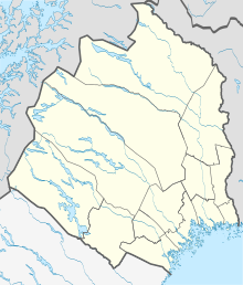
Svappavaara
| Svappavaara | ||||
|
||||
| State : | Sweden | |||
| Province (län): | Norrbotten County | |||
| Historical Province (landskap): | Lapland | |||
| Municipality : | Kiruna | |||
| Coordinates : | 67 ° 39 ′ N , 21 ° 4 ′ E | |||
| SCB code : | 8864 | |||
| Status: | Crime scene | |||
| Residents : | 400 (December 31, 2015) | |||
| Area : | 1.14 km² | |||
| Population density : | 351 inhabitants / km² | |||
| List of perpetrators in Norrbotten County | ||||
Svappavaara ( meänkieli Vaskivuori , North Sami Veaikkevárri ) is a place ( Tatort ) in the northern Swedish province of Norrbotten County and the historical province of Lapland north of the Arctic Circle .
The place was laid out as a mining site in the 17th century, and the LKAB mining company is still the largest employer today, processing iron ore into pellets in an enrichment plant here . The opencast mine Svappavaaragruvan , actually Leveäniemigruvan , was in operation from 1964 to 1983 and was filled with water after it was closed.
There is a church in the village from the 1960s, and the Ormen Långe house was built according to plans by the well-known Swedish architect Ralph Erskine , but some of it is no longer in use today.
The European route 45 leads past Svappavaara. There is also an ore loading point with a connection to the Luleå - Narvik ore railway .

