Minersbutt
|
Minersbutt
Unified municipality Neu Wulmstorf
Coordinates: 53 ° 23 ′ 0 ″ N , 9 ° 48 ′ 0 ″ E
|
||
|---|---|---|
| Incorporation : | April 1, 1925 | |
| Postal code : | 21629 | |
| Area code : | 04168 | |
|
Location of Mienenbüttel in Neu Wulmstorf |
||
|
Aerial view from the south with Mienenbüttel beyond the industrial area.
|
||
(Low German Mienenbüddel) is a part of the unified communityNeu Wulmstorfin thedistrict of Harburg,Lower Saxony. Mienenbüttel belongs together withOhlenbüttelto the district ofRade.
In terms of nature, Mienenbüttel is located on the western edge of the Harburg Mountains in the transition to the Apenser Lehmgeest .
Neighboring places
Mienenbüttel borders in the north on Rade and Elstorf-Bachheide , in the northeast on Langenrehm , in the east on Emsen and Nenndorf , in the southeast on Dangersen , Dibbersen , Steinbeck and Meilsen , in the south on Trelder Berg , Sprötze , Trelde and Klauenburg , in the southwest on Wenzendorf and Wennerstorf , in the west on Hollenstedt and Oldendorf and in the north-west on Appel and Eversen-Heide .
history
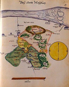
Before 1859 the village was part of the Vogtei Hollenstedt in the Moisburg office , then in the Tostedt office and from 1885 in the Harburg district . Until 1925 Mienenbüttel belonged to the municipality of Appel and on April 1, 1925, it merged with Rade and Ohlenbüttel in the municipality of Rade.
Mienenbüttel went on July 1, 1972 as part of the district of Rade in Neu Wulmstorf - in the course of the establishment of the unified community Neu Wulmstorf.
traffic
Mienenbüttel is located on the flyover of the federal highway 3 over the federal highway 1 , which has its junction 44 Rade (Neu Wulmstorf) here.
Individual evidence
- ↑ The story of Neu Wulmstorf. In: neu-wulmstorf.de. Retrieved April 8, 2016 .


