
Municipio Santiago de Machaca
| Municipio Santiago de Machaca | |||
|---|---|---|---|
| Basic data
|
|||
| Population (state) - population density |
4593 inhabitants (2012 census) 4 inhabitants / km² |
||
| Post Code | 02-1901 | ||
| Telephone code | (+591) | ||
| surface | 1,255 km² | ||
| height | 3900 m | ||
| Coordinates | 17 ° 10 ′ S , 69 ° 15 ′ W | ||
|
|||
| politics
|
|||
| Department | La Paz | ||
| province | José Manuel Pando Province | ||
| Central place | Santiago de Machaca | ||
| climate | |||
 Climate diagram El Alto |
|||

The municipality of Santiago de Machaca is a district in the La Paz department in the South American Andean state of Bolivia .
Location in the vicinity
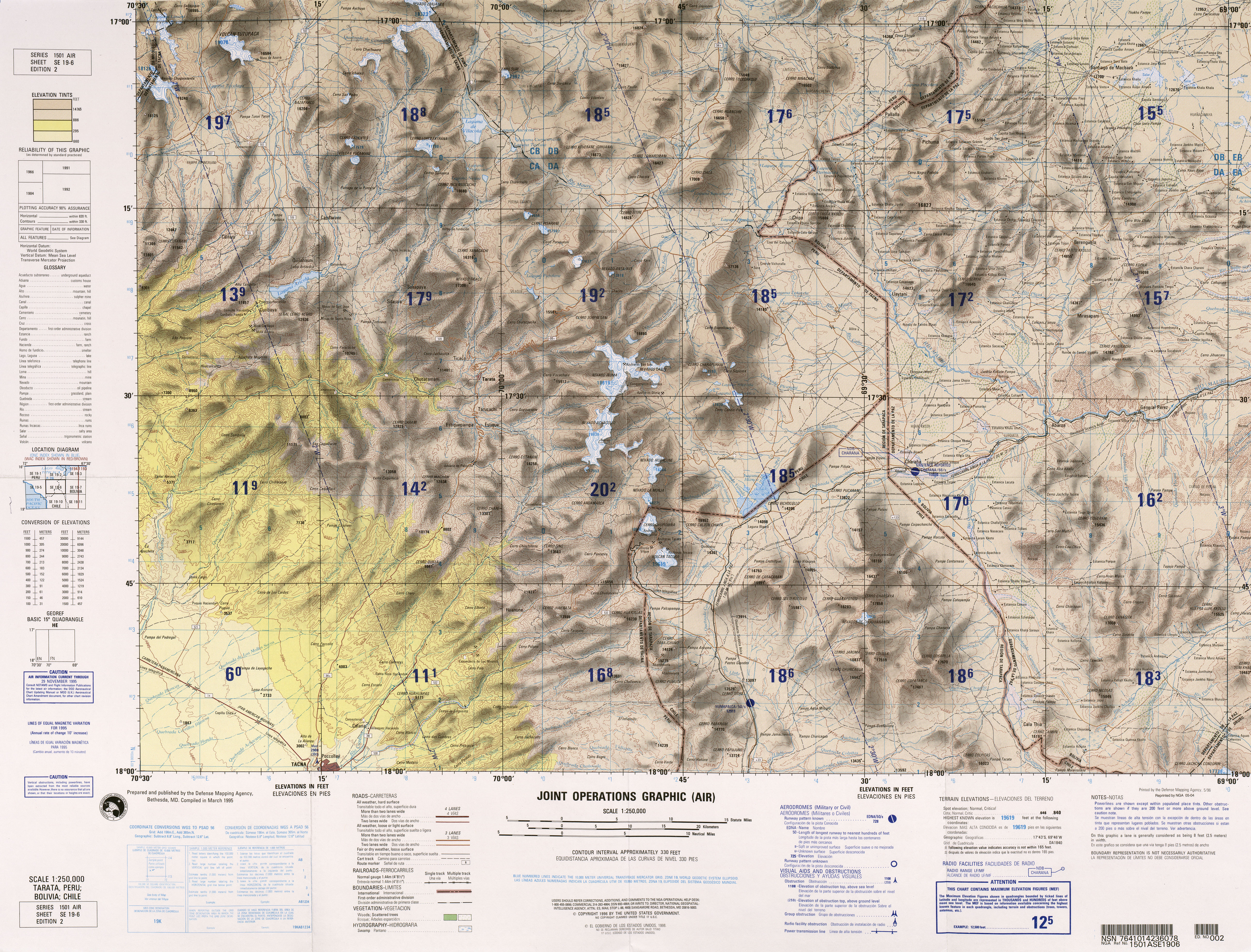
The municipality of Santiago de Machaca is one of two municipalities in the province of José Manuel Pando and is located in the eastern part of the province. It borders the Republic of Peru and the Municipio Catacora to the west, the Pacajes Province to the south and southeast , and the Ingavi Province to the north .
The municipality has 111 localities ( localidades ), the central place of the municipality is Santiago de Machaca with 9 inhabitants in the northwestern part of the municipality, the only notable larger town is Alto Alianza with 448 inhabitants ( 2012 census ).
geography
The municipality of Santiago de Machaca is located at an average altitude of 3900 m southwest of Lake Titicaca on the Bolivian Altiplano between the Andes mountain ranges of the Cordillera Occidental in the west and the Cordillera Central in the east.
The mean annual temperature of the region is 8 ° C, the annual precipitation is 500 to 600 mm (see climate diagram El Alto). The region has a distinct daytime climate, the monthly average temperatures fluctuate only slightly between 7 ° C in July and 11 ° C in December. The monthly precipitation is between less than 10 mm in the months of June and July and close to 100 mm from December to February.
population
The population of the municipality of Santiago de Machaca has increased only slightly in the past two decades:
| year | Residents | source |
|---|---|---|
| 1992 | 3 735 | census |
| 2001 | 4 402 | census |
| 2012 | 4,500 | census |
The life expectancy of newborns in 2001 was 64.6 years, and infant mortality fell from 7.9 percent (1992) to 5.3 percent in 2001.
The literacy rate among those over 19 is 87.9 percent, 97.0 percent for men and 79.0 percent for women (2001) .
79.3 percent of the population speak Spanish , 89.5 percent speak Aymara , and 0.3 percent speak Quechua . (2001)
90.1 percent of the population have no access to electricity , 49.4 percent live without sanitary facilities (2001) .
72.9 percent of the total of 1,608 households have a radio, 2.3 percent a television, 50.5 percent a bicycle, 1.4 percent a motorcycle, 1.3 percent a car, 0.4 percent a refrigerator and 0.1 percent Percent a phone. (2001)
politics
Results of the elections for the municipal council ( concejales del municipio ) in the regional elections on April 4, 2010:
| electoral legitimate |
electoral participation |
valid votes | MAS-IPSP | MSM | MTL | U.N. | ||
|---|---|---|---|---|---|---|---|---|
| 1,858 | 1,677 | 1,131 | 532 | 244 | 233 | 122 | ||
| 90.3% | 67.4% | 47.0% | 21.6% | 20.6% | 10.8% |
structure
The municipality was subdivided in the last census of 2012 in the following six cantons ( cantones ):
- 02-1901-01 Canton Santiago de Machaca 65 towns - 3,005 inhabitants ( 2001: 2,666 inhabitants )
- 02-1901-02 Canton of Bautista Saavedra 10 villages - 253 inhabitants ( 2001: 168 inhabitants )
- 02-1901-03 Canton Berenguela 13 villages - 187 inhabitants ( 2001: 602 inhabitants )
- 02-1901-04 Canton Exaltación 10 towns - 299 inhabitants ( 2001: 478 inhabitants )
- 02-1901-05 Canton General José Ballivian 9 towns - 411 inhabitants ( 2001: 358 inhabitants )
- 02-1901-06 Canton of Santiago de Huari Pujio 4 villages - 345 inhabitants ( 2001: 130 inhabitants )
Localities in the municipality of Santiago de Machaca
- Santiago de Machaca Canton
- Santiago de Machaca 819 pop ( 2001 ) - Alto Alianza 448 pop ( 2012 )
- Canton of Berenguela
- Berenguela 95 pop. ( 2001 )
Individual evidence
- ^ INE - Instituto Nacional de Estadística Bolivia 1992
- ^ INE - Instituto Nacional de Estadística Bolivia 2001
- ↑ INE - Instituto Nacional de Estadística Bolivia 2012 ( Memento of the original from March 4, 2016 in the Internet Archive ) Info: The archive link was inserted automatically and has not yet been checked. Please check the original and archive link according to the instructions and then remove this notice.
- ↑ Acta de computo Nacional Electoral Departamentales, Municipales y Regional 2010
Web links
- Relief map of the Santiago de Machaca region 1: 100,000 (PDF; 11.4 MB)
- Relief map of the Tatara region 1: 250,000 (PDF; 10 MB)
- Municipio Santiago de Machaca - General Maps No. 21901
- Municipio Santiago de Machaca - detailed map and population data (PDF; 502 kB) ( Spanish )
- Departamento La Paz - social data of the municipalities (PDF; 11.63 MB) ( Spanish )