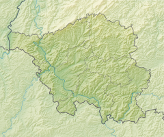
Schwalbaue
|
Schwalbaue
|
||
| location | Blieskastel , Saarpfalz district , Saarland | |
| surface | 15 ha | |
| Identifier | NSG-080 | |
| WDPA ID | 165479 | |
| Geographical location | 49 ° 9 ' N , 7 ° 22' E | |
|
|
||
| Setup date | 07/05/1996 | |
| administration | Saarpfalz district | |
The Schwalbaue is a stream floodplain and a nature reserve in the Saarpfalz district in Saarland .
The Schwalbaue lies within the boundaries of Assemblies Kastels district Brenschelbach along the French-German border and north of Rhineland-Palatinate bordering the Biosphere Bliesgau . The area was designated a nature reserve on July 5, 1996.
Protection purpose
There is a natural Auenabschnitt of on the 15 hectare site Schwalb creek with oat grass meadows , tall herb corridors and reeds .
Web links
- [1] at sl.juris.de

