Schwarzenbruch
Coordinates: 49 ° 44 ′ 7 ″ N , 7 ° 7 ′ 58 ″ E
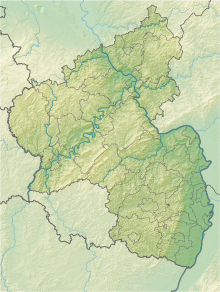
The Schwarzenbruch nature reserve is located in the Birkenfeld district in Rhineland-Palatinate .
The 110 hectare area, which was placed under nature protection in 1987 , extends north of Hüttgeswasen , a residential area in the Allenbach community . The B 422 runs along the northern edge of the area and the B 269 runs along the western edge . The Idarbach flows through the area.
The protection purpose is the preservation of the alder - birch quarry with its bog areas and wet meadows , especially as a habitat for threatened plant species and plant communities.
See also
Web links
- Schwarzenbruch (map) on protectedplanet.net
- 13415 Ordinance on the “Schwarzenbruch” nature reserve in the Birkenfeld district of December 17, 1987 (PDF) on naturschutz.rlp.de

