Pannenfels
Coordinates: 49 ° 44 ′ 47 " N , 7 ° 12 ′ 2" E
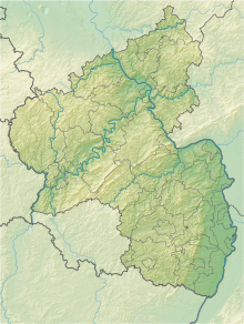
The Pannenfels nature reserve is located in the Birkenfeld district in Rhineland-Palatinate .
The 7.8715 hectare area, which was placed under nature protection in 1940 , extends over the boundary of the local community of Siesbach , southeast of the local community of Allenbach . The federal highway 422 runs northwest .
The highest point in the area is the Pfannenfelskopf at 680.4 m above sea level. NHN
See also
Web links
- Pannenfels (map) on protectedplanet.net
- 13403 Ordinance on the “Pannenfels” nature reserve in the Herrstein Forestry District, Birkenfeld Birkenfeld district of April 22, 1940 (PDF) on naturschutz.rlp.de

