
Outskirts settlement Am Taubenberg

The suburban settlement Am Taubenberg (alternatively as suburban settlement Radeberg or Randhäuser , colloquially referred to as "Cold Hand" ) is a locality with primarily single and two-family houses and the associated garden properties on the eastern edge of the urban area of Radeberg in Saxony . Construction began in August 1932.
location

The suburban settlement is located on the western slope of Taubenberg (298 meters), an Ice Age moraine from the Pleistocene . Until about the beginning of the 20th century, there was a piece of forest called Strankholz at this point . On the northern edge of the settlement, state road 158 runs from Radeberg to Großröhrsdorf , and Kleinröhrsdorfer Straße leads directly through the settlement to the neighboring town of the same name. The Wallrodaer Weg branches off to the south (after approx. 100 meters as Felixturmweg ) through the adjacent Hüttertal towards Wallroda . The Radeberger Rundwanderweg and Röderradroute run through the settlement . The field areas and open spaces north of the suburban settlement up to the Landwehr forest area are declared as regional green spaces for the purpose of maintaining a species protection and biotope network .
prehistory
The global economic crisis that began in 1929 led to the closure of numerous companies, which led to high unemployment. In many German cities , suburban settlements were built on the basis of the newly created Reichsheimstätten Act of May 10, 1920 . On the one hand, these residential areas created work and accommodation for the population affected by the crisis; on the other hand, they were designed in such a way that they could provide themselves with food through their own gardens and small animal husbandry . Since the crisis also led to a high unemployment rate in Radeberg, which drastically deteriorated the housing and supply situation in the city, the first concrete plans to build such a settlement were made in 1931. After the concerns of the city regarding the financing and the contradictions of the residents of neighboring areas had been clarified, the construction of the settlement on Taubenberg was decided in 1932.
Building history
All interested parties had to apply for the living space in the settlement (settler positions) and prove that they would be useful for construction or life in the future location. As is usual with suburban settlements, the work on the buildings and land was carried out exclusively by local craftsmen, who later also became residents of the settlement. In order to keep the quality of the work correspondingly high and to prevent the craftsmen from only working properly on their own parcel, the plots were only distributed by lot after their completion.

The settlement was built in five construction phases. The sixth construction phase is the reconstruction and expansion after the Second World War and into the 2000s. In the first construction phase, ten semi-detached houses were built at the end of 1932. The local Radeberger Zeitung disparagingly referred to the new houses as dog houses in view of their sparse furnishings and small size . In the second construction phase, seven more semi-detached houses were built in 1933/34. With the seizure of power of the NSDAP , the view of the typical changed settler . The main purpose of the further expansion was to prevent the rural exodus and create the cheapest housing. In the third construction phase, twelve settler positions were created in 1936/37, and 24 more followed in the fourth construction phase in 1937/38. The fifth construction phase, which was planned from 1940, was not realized due to the Second World War . In the months before and after the end of the war, temporary makeshift homes and a community house were built on the designated area with the simplest means and building materials.
After the war, the damage to the buildings was repaired first. In the times of the GDR , the residential buildings were expanded and modernized. The properties were connected to the telephone network, gas and water connections were set up. After the fall of the Wall and German reunification , numerous new residential buildings were built in the settlement and the roads were renewed. In the statute for the preservation of the urban character of the urban development area of the outskirts of 1997, the city of Radeberg stipulated that the settlement character of the location on Taubenberg was to be preserved and that excessive or unsuitable developments and commercial settlements that would disturb the typical image of the suburban housing estate were not permitted.
The urban development concept of the city of Radeberg classifies the suburban housing estate in the category “areas worthy of consolidation” and thus certifies the estate both “identifying qualities for the entire city” and “stock weaknesses from the point of view of urban development”.
Settlement life
In the first few years, traders from the surrounding towns took over the supply of food, coal and other goods to the residents of the settlement, as the city refused to open various shops. The Radeberg baker Großmann set up the first grocery store in the suburbs in 1938. During the times of the GDR it became a HO store. After the fall of the Berlin Wall , the business was privatized and existed until 1997.
In 1937 the first settlers' or summer festival was held on the outskirts of the town. The regional newspaper reported on the folk festival-like activities in the settlement in 1937 and 1938. After the end of the Second World War, the summer festivals were held again. There are documents for the years 1970 to 1977 that show a three-day festival program in the settlement. The summer festival in 1977 was the last such event, the festivities were due to the shortage economy set in the GDR.
Others

Due to the exposed location on the western slope of the Taubenberg and the extensive fields that surround the suburban settlement, the properties are more exposed to the effects of wind and weather than the nearby city. Because of this (and because of the inadequate building insulation, especially in the makeshift homes) in the suburbs freezing faster and more often than in the city, the settlement was popularly known as "Cold Hand". This name became established and is used, for example, by local amateur soccer teams and as a team name by the runners of the settlement at the annual Hüttertal run .
In the last days of the Second World War, Dresden was declared a fortress by the Wehrmacht High Command , and all suburbs had to be ready for defense. In April 1945 positions were excavated in the suburbs and anti-tank barriers were erected on the road to Großröhrsdorf. A machine gun position was set up on Taubenberg. On April 22nd and 23rd, 1945 there were battles with Polish tanks in and around the suburbs.
On Kleinröhrsdorfer Strasse on Taubenberg, the Röderaue drinking water association built and commissioned an elevated tank with a capacity of 10,000 cubic meters in 1994 . This serves on the one hand to store drinking water and on the other to supply Radeberg and Leppersdorf. It also compensates for pressure fluctuations in the Radeberger water supply system .
Web links
Individual evidence
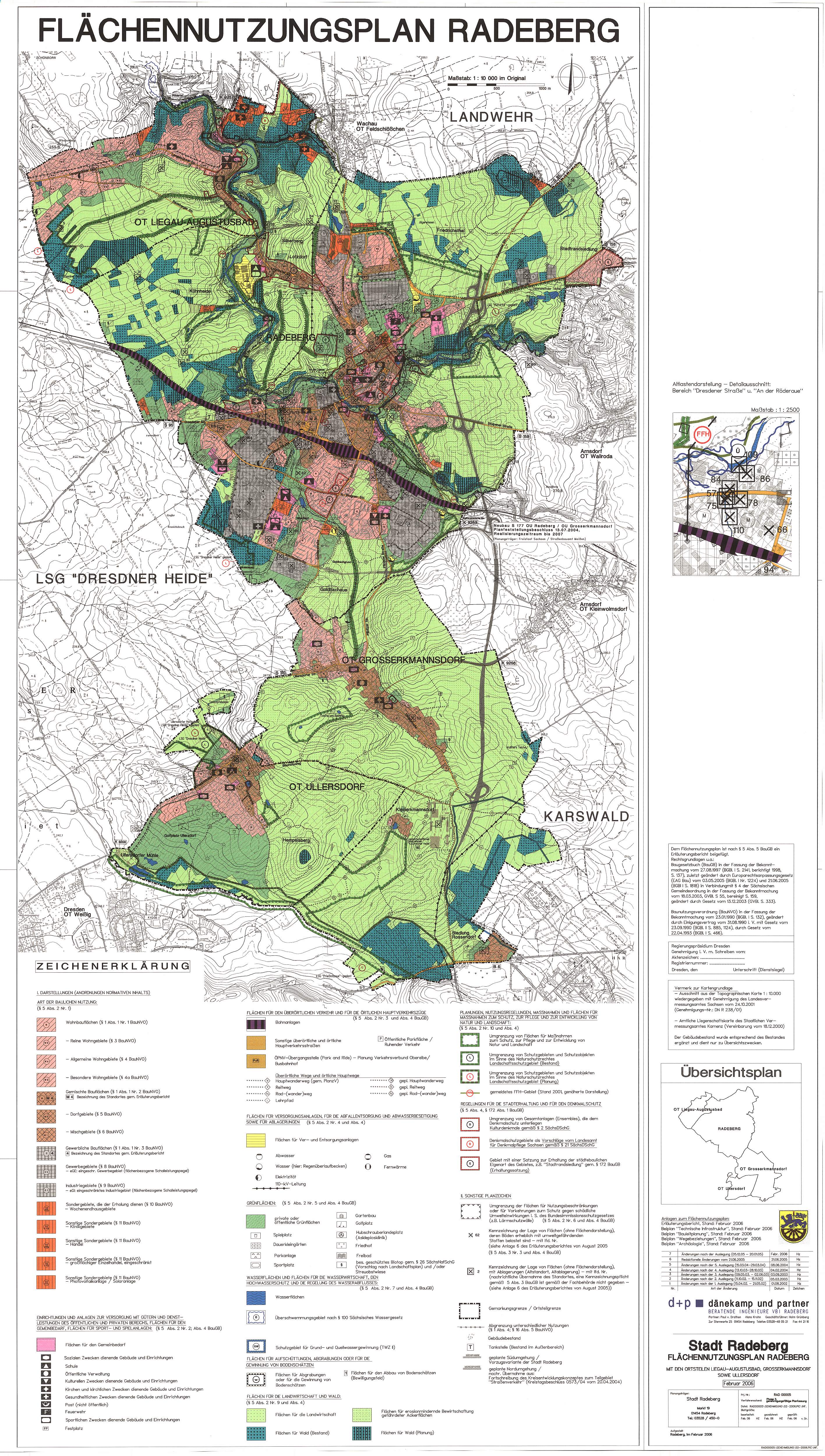
- ↑ Land use plan of the city of Radeberg. Retrieved on February 26, 2016 (The suburb is the area marked on the far right, east of the city center.).
- ↑ Explanatory report on the landscape plan of the city of Radeberg and its districts. (PDF; 2.6 MB) p. 14 , accessed on November 14, 2013 .
- ↑ RGBl. P. 962 to p. 970 (reprint of the Reichsheimstättengesetz in the Reichsgesetzblatt of May 18, 1920)
- ↑ a b Archive and building archive of the city of Radeberg
- ↑ a b c d e Gunter Stresow: On the history of the Radeberg suburban settlement "Am Taubenberg". In: Large district town of Radeberg in cooperation with the urban history working group (ed.): Radeberger Blätter zur Stadtgeschichte. Volume 6, Radeberg 2008.
- ↑ Statute for the preservation of the urban character of the urban outskirts area. (PDF; 16 kB) Retrieved on February 26, 2016 .
- ↑ Action plan, priorities, area categories. (PDF; 317 kB) Retrieved on February 26, 2016 (The suburban settlement is the area marked on the far right, east of the city center.).
- ^ Radeberger Zeitung. Issues dated August 23, 1937 and July 25, 1938.
- ↑ Results overview of the Hüttertal run 2012 on triathlon-service.de. Accessed May 27, 2013 (places 25 and 88).
- ^ Jörg Hennersdorf: Notes from the last days of the war. In: Large district town of Radeberg in cooperation with the urban history working group (ed.): Radeberger Blätter zur Stadtgeschichte. Volume 10, Radeberg 2012.
- ↑ 1994 annual financial statements of the Röderaue drinking water association. (PDF; 16 kB) (No longer available online.) P. 3 , formerly in the original ; Retrieved May 28, 2013 . ( Page no longer available , search in web archives ) Info: The link was automatically marked as defective. Please check the link according to the instructions and then remove this notice.

Districts: Großerkmannsdorf | Liegau-Augustusbad | Ullersdorf
Districts: Großerkmannsdorf | Kleinerkmannsdorf | Liegau-Augustusbad | Lotzdorf | Radeberg | Ullersdorf
Other locations: Friedrichstal | Heinrichsthal | Kleinwachau | Rossendorf settlement | Outskirts settlement Am Taubenberg
Coordinates: 51 ° 7 ′ 41.4 ″ N , 13 ° 57 ′ 12.6 ″ E