
Tista
| Tista | ||
 |
||
| Data | ||
| location |
Sikkim , West Bengal ( India ), Bangladesh |
|
| River system | Brahmaputra | |
| Drain over | Brahmaputra → Indian Ocean | |
| Confluence of |
Lachen Chu and Lachung Chu 27 ° 36 ′ 5 ″ N , 88 ° 38 ′ 55 ″ E |
|
| muzzle | at Fulcherry ( Division Rangpur ) in the Jamuna coordinates: 25 ° 28 ′ 13 " N , 89 ° 40 ′ 2" E 25 ° 28 ′ 13 " N , 89 ° 40 ′ 2" E |
|
| Mouth height |
16 m
|
|
| length | 360 km (including Lachen Chu 430 km) | |
| Catchment area | 12,540 km² | |
| Outflow A Eo : 12,540 km² |
MQ Mq |
900 m³ / s 71.8 l / (s km²) |
| Left tributaries | Rani Khola , Rangpo Chhu | |
| Right tributaries | Talung Chhu , Rangit | |
| Reservoirs flowed through | Chungthang Reservoir | |
| Big cities | Jalpaiguri | |
| Small towns | Rangpo , Fulcherry | |
| Residents in the catchment area | 15.7 million | |
 The Tista at Kalimpong |
||
The Tista ( Bengali : তিস্তা , Tistā ; Anglicizing also Teesta ) is a 430 km (130 km in Bangladesh) long right tributary of the lower Brahmaputra .
It rises from the glaciers of the Himalayas in the north of the Indian state of Sikkim , crosses it in a deeply cut valley and forms the border between Sikkim and West Bengal near Kalimpong . In the Rangpur division of Bangladesh it flows into the Jamuna , as the Brahmaputra is called in Bangladesh.
Upper course in the Eastern Himalayas
The beginning of the river Tista is on the one hand the confluence of the rivers Lachen Chu and Lachung Chu and on the other hand two source lakes of the much larger Lachen Chu, which is therefore often already called Tista . The Cholamu Lake ( 5014 m ) is regarded as a source of Tista, but in fact it is the Khangchung Lake ( 5303 m ). The main hydrological strand of the river system begins at the Zemu Glacier , as its outlet, the Zemu Chu , is richer in water than the Tista (or Lachen Chu) at the mouth.
The uppermost source rivers of the Tista initially collect from meltwater from glaciers facing north to the dry and cold Tibetan highlands, but the uppermost glacial lakes are usually considered to be their sources . They are at altitudes between 5100 and 5600 meters. You then turn south and reach, in the west, dominated by the 8,586 m high Kangchenjunga , very quickly deeper, much more precipitous valley areas. The almost without exception steep valley system of the Tista takes up the area of Sikkim almost entirely. Cities and settlements are limited to the few leveling areas in the slopes that are widely prone to slipping. The rocks are often poorly consolidated and weather easily. They consist of gneisses , phyllites , granites and limestones . The topography is also reflected in the name of the indigenous people of the Lepcha , who call themselves Rong Kup ("canyon people") here.
The valley, which crosses the main line of the mountains, was used early on as a transition to Tibet, despite its steepness. Today the economic importance of the valley is seen primarily in its potential for the use of hydropower . The Indian state, to which Sikkim has belonged since 1975, is building a total of 26 hydropower plants in the valley. The currently (2015) highest located is the Teesta III power plant at the mouth of the Lachung Chu, which sank in the Chungthang reservoir. In its upper reaches, the Tista is also used for white water rafting .
Lower reaches in the Bengali lowlands
When it emerges from the mountains, the Tista enters the state of West Bengal . It carries around 600 m³ / s of water here. Their water flow increases significantly in the further course up to the confluence with the Jamuna due to the high annual rainfall, but a large barrage diverts up to 280 m³ / s for irrigation purposes into an approximately 4500 km long canal system, as the monsoonal rainfall lasts for a few months are concentrated and irrigated agriculture must be carried out during the dry season .
The floods of the very sediment-rich river promote the fertility of the soil through sedimentation of suspended matter, but in the past also led to river shifts of up to 100 kilometers. Until the late 18th century, the Tista was the upper reaches of three river arms, the Karatoya, Atrai and Jamunaswari, which flow into the Ganges . The name Tista is associated with this: Tri-Srota ("the three-stream"). In the catastrophic flood of 1787 the river broke out to the east to the Brahmaputra, the main stream of the Brahmaputra-Ganges river system that has dominated at least since this event, which flows into the Bay of Bengal as Meghna .
- German Tibet Expedition Ernst Schäfer (1938/39)

Landscape view, Tistatal

View into the Tistatal

Bridge with caravan

Landscape shot, Tista


Web links
- http://www.east-himalaya.com/places/tista.htm
- Tista at Banglapedia
Individual evidence
- ↑ Measurement using GoogleEarth, length variable due to free meanders
- ↑ Article Tista in the Great Soviet Encyclopedia (BSE) , 3rd edition 1969–1978 (Russian)
- ↑ Calculated from mean monthly discharge in Kaunia (around 40 km above the estuary) up to 2000 from: Reaz A. Mullick, Mukand S. Babel and Sylvain R. Perret: RW02 Flow characteristics and environmental flow requirements for the Teesta River, Bangladesh (PDF; 277 kB) . Proc. of International Conference on Environmental Aspects of Bangladesh (ICEAB10), Japan, Sept. 2010, Tab. IV, p. 161. The later data are reduced by around 250 m³ / s due to water drainage for irrigation purposes above.
- ^ The New Horizon: Tista (Teesta): The New Dilemma September 29, 2010 - Diganta
- ↑ a b Tom Clement: Chungthang, Sikkim: A New Dam's Potential Impact , 2014
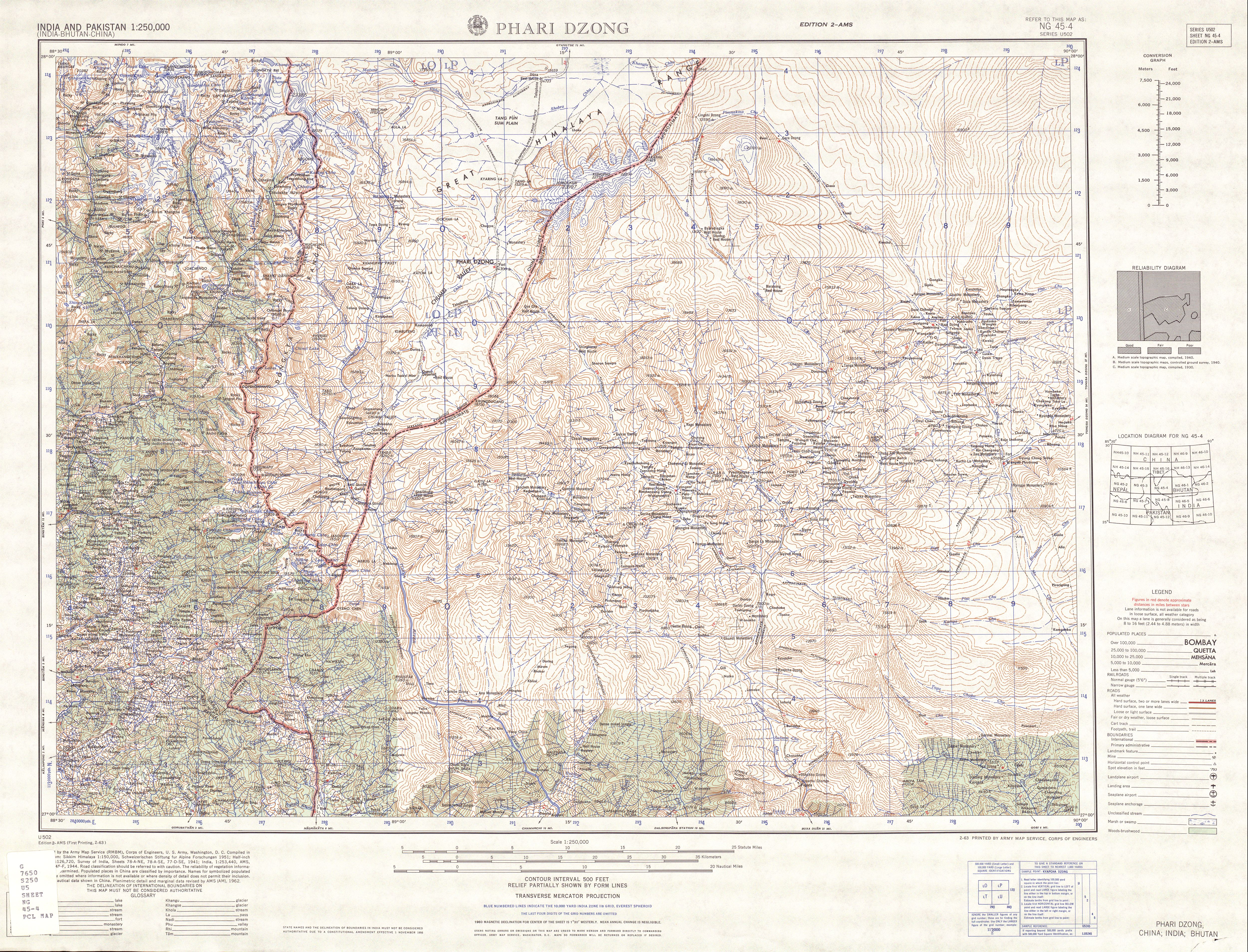
- ↑ a b U.S. Army Map Service: Series U502 India and Pakistan, Sheet NG 45-4 Phari Dzong , 1955-
- ↑ Thinking Particle (Indian website): Cholamu Lake - India's Highest Lake , accessed June 13, 2015
- ↑ Dionne Bunsha: Teesta's tears ( Memento of the original from February 4, 2011 in the Internet Archive ) Info: The archive link was automatically inserted and not yet checked. Please check the original and archive link according to the instructions and then remove this notice. (Frontline, Vol. 25 - Issue 12, Jun. 2008)
- ↑ Sarker, DC, Pramanik, BK, Zerin, AI and Ara, I .: Climatic Impact Assessment: A Case Study of Teesta Barrage Irrigation Project in Bangladesh (PDF; 78 kB); International Journal of Civil & Environmental Engineering IJCEE-IJENS Vol. 11 No. 01, pp. 99-110