Tickle Channel
| Tickle Channel | ||
|---|---|---|
| Connects waters | Hanusse Bay | |
| with water | The gullet | |
| Separates land mass | Adelaide Island | |
| of land mass | Hansen Island | |
| Data | ||
| Geographical location | 67 ° 6 '58 " S , 67 ° 43' 59" W | |
|
|
||
| length | 8 kilometers | |
| Smallest width | 1.5 km | |
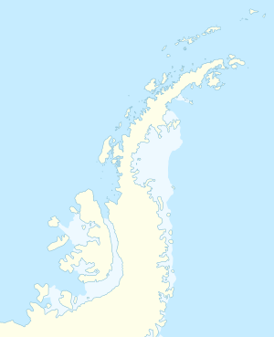
The Tickle Channel is between 1.5 and 5 km wide and 8 km long strait off the Loubet coast of Graham Land on the Antarctic Peninsula . The channel runs between Adelaide Island in the west and Hansen Island to the east . It connects the Hanusse Bay in the north with the strait The Gullet, which adjoins to the south .
Participants of the British Graham Land Expedition (1934-1937) led by the Australian polar explorer John Rymill sighted them on a flight in February 1936. The Falkland Islands Dependencies Survey carried out measurements and descriptive naming in 1948. "Tickle" is the name commonly used in Newfoundland and Labrador for a narrow waterway between two islands.
Web links
- Tickle Channel in the Geographic Names Information System of the United States Geological Survey (English)
- Tickle Channel on geographic.org (English)
Straits along the coast of Graham Land
|

