Orléans Street
| Orléans Street | ||
|---|---|---|
| Connects waters | Bransfield Street | |
| with water | Gerlache Street | |
| Separates land mass | Trinity Island and Tower Island | |
| of land mass | Davis Coast , Graham Land , Antarctic Peninsula | |
| Data | ||
| Geographical location | 63 ° 48 ′ S , 60 ° 10 ′ W | |
|
|
||
| length | 30 km | |
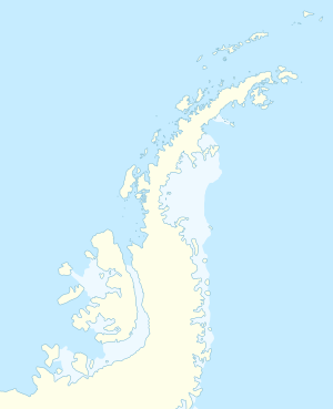
The Orléans Strait ( French Canal d'Orléans ) is a 30 km long strait with a northeast-southwest orientation, which separates the islands of Trinity Island and Tower Island in the Palmer Archipelago from the Davis coast of the Antarctic Peninsula .
It is likely that the American navigator Nathaniel Palmer was the first to sight this sea route on November 18, 1820. It was named and partially mapped during the Third French Antarctic Expedition (1837-1840) under the direction of Jules Dumont d'Urville . A detailed mapping was carried out during the Swedish Antarctic Expedition (1901–1903) under Otto Nordenskjöld . It is probably named after the house of Orléans , whose descendant Louis-Philippe I was King of France at the time of d'Urville's research trip.
Web links
- Orléans Strait in the Geographic Names Information System of the United States Geological Survey (English)
- Orléans Strait on geographic.org (English)
Straits along the coast of Graham Land
|

