Laubeuf Fjord
| Laubeuf Fjord | ||
|---|---|---|
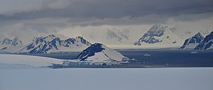
| View from Adelaide Island over the Laubeuf Fjord | ||
| Connects waters | Marguerite Bay | |
| with water | The gullet | |
| Separates land mass | Adelaide Island | |
| of land mass | Arrowsmith Peninsula , Grahamland | |
| Data | ||
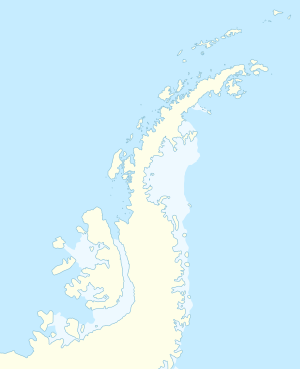
| Geographical location | 67 ° 20 ′ S , 67 ° 50 ′ W | |
|
|
||
| length | 40 km | |
| Smallest width | 10 km | |
The Laubeauf Fjord ( French Fiord Laubeuf ) is a 40 km long and an average 10 km wide Sund with north-south orientation of the west coast of Graham lands north of the Antarctic Peninsula . It lies between the east-central part of Adelaide Island and the southern section of the Arrowsmith Peninsula and forms the connection between Marguerite Bay in the south and the north-lying strait The Gullet .
The fjord was discovered during the Fifth French Antarctic Expedition (1908-1910) under the direction of polar explorer Jean-Baptiste Charcot . He named it after the French naval engineer Maxime Laubeuf (1864–1939), who carried out the work on the construction of the propulsion engine for Charcot's research vessel Pourquoi Pas? supervised.
Web links
- Laubeauf Fjord in the Geographic Names Information System of the United States Geological Survey (English)
- Laubeauf Fjord on geographic.org (English)
Straits along the coast of Graham Land
|


