Bismarck Strait (Antarctica)
| Bismarck Street | ||
|---|---|---|
| Connects waters | Southern ocean | |
| with water | Gerlache Street and Butler Passage | |
| Separates land mass | Wauwermans Islands ( Wilhelm Archipelago ) | |
| of land mass | Palmer Archipelago | |
| Data | ||
| Geographical location | 64 ° 51 ′ S , 63 ° 58 ′ W | |
|
|
||
| length | 25 km | |
| Smallest width | 5 km | |
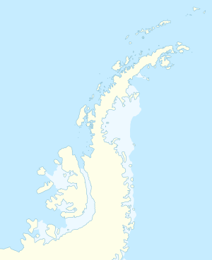
The Bismarck Strait ( English Bismarck Strait ) is a strait in the Antarctic north of Graham Land between the Wauwermans Islands of the Wilhelm Archipelago , as well as the Anvers- and Wiencke Island that the Palmer Archipelago belong. In the southeast it extends to Cape Errera , where it meets the Gerlache Strait ; in the southwest there is a connection to the Lemaire Canal via the Butler Passage .
The Bismarck Street was discovered during a research trip in 1873/74 by Captain Eduard Dallmann with the steam sailing ship Groenland and named by him after the founder of the empire Otto von Bismarck .
Individual evidence
- ↑ a b c d Bismarck Strait (GBR) in the SCAR Composite Gazetteer of Antarctica , accessed on January 22, 2018
- ↑ a b Bismarck Strait in the Geographic Names Information System of the United States Geological Survey , accessed January 22, 2018
Straits along the coast of Graham Land
|

