Grandidier Canal
| Grandidier Canal | ||
|---|---|---|
| The Polar Star in the Grandidier Canal, 2006 | ||
| Connects waters | Penola Strait | |
| with water | Crystal Sound and Pendleton Street | |
| Separates land mass | Biscoe Islands | |
| of land mass | Graham Coast , Graham Land | |
| Data | ||
| Geographical location | 65 ° 35 ′ 0 ″ S , 64 ° 45 ′ 0 ″ W | |
|
|
||
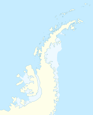
The Grandidier Channel ( French Chenal Grandidier ) is a navigable strait between the west coast of the Antarctic Graham Land and the northern end of the offshore Biscoe Islands . It stretches south from Penola Strait to near Larrouy Island .
Participants in the Fourth French Antarctic Expedition mapped this sea route. Expedition leader Jean-Baptiste Charcot named him after the French naturalist Alfred Grandidier (1836-1921), from 1901 to 1905 President of the French Geographical Society .
Web links
- Grandidier Channel in the Geographic Names Information System of the United States Geological Survey (English)
- Grandidier Channel on geographic.org (English)
Straits along the coast of Graham Land
|


