The gullet
| The gullet | ||
|---|---|---|
| Connects waters | Hanusse Bay | |
| with water | Laubeuf Fjord | |
| Separates land mass | Adelaide Island | |
| of land mass | Arrowsmith Peninsula | |
| Data | ||
| Geographical location | 67 ° 9 ′ 58 ″ S , 67 ° 39 ′ 0 ″ W | |
|
|
||
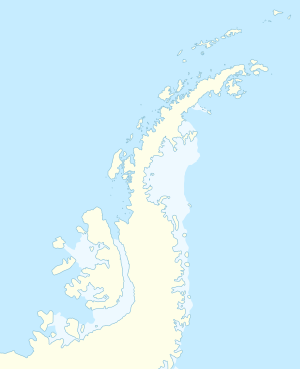
The Gullet ( English for The Maw is) a narrow strait between the eastern foothills of the Adelaide Island and Arrowsmith Peninsula on Loubet Coast of Graham lands north of the Antarctic Peninsula . It connects the head ends of the Hanusse Bay and the Laubeuf Fjord .
The area around this navigable sea route was first explored in 1909 during the Fifth French Antarctic Expedition (1908–1910) under the direction of polar explorer Jean-Baptiste Charcot . Although Charcot was unsure whether it was actually a channel, he can be found as such in the maps of this research trip. It was first driven through and roughly mapped in 1936 during the British Graham Land Expedition (1934–1937) under the direction of the Australian polar explorer John Rymill . Another measurement and the descriptive naming were carried out in 1948 by employees of the Falkland Islands Dependencies Survey .
Web links
- The Gullet in the Geographic Names Information System of the United States Geological Survey (English)
- The Gullet on geographic.org (English)
Straits along the coast of Graham Land
|

