Gunnel Channel
| Gunnel Channel | ||
|---|---|---|
| Connects waters | Hanusse Bay | |
| with water | The gullet | |
| Separates land mass | Hansen Island | |
| of land mass | Arrowsmith Peninsula , Grahamland , Antarctic Peninsula | |
| Data | ||
| Geographical location | 67 ° 6 ′ S , 67 ° 33 ′ W | |
|
|
||
| length | 11 km | |
| Smallest width | 800 m | |
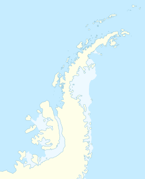
The Gunnel Channel (English for railing channel ) is a 800 m wide and 11 km long strait in the southern part of the Hanusse Bay . It separates Hansen Island from the west coast of Graham Land in the north of the Antarctic Peninsula .
The canal was discovered from the air and roughly mapped in 1936 during the British Graham Land Expedition (1934–1937) under the direction of the Australian polar explorer John Rymill . The Falkland Islands Dependencies Survey carried out an on-site survey in 1948 and named it. It is named after the false impression that the canal is so narrow that a ship cannot navigate in it without scratching the railing on both sides .
Web links
- Gunnel Channel in the Geographic Names Information System of the United States Geological Survey (English)
- Gunnel Channel on geographic.org (English)
Straits along the coast of Graham Land
|

