Tour de Moron
|
Tour de Moron
|
|||||
|---|---|---|---|---|---|
| Basic data | |||||
| Place: | Malleray | ||||
| Canton: | Bern | ||||
| Country: | Switzerland | ||||
| Altitude : | 1329 m | ||||
| Coordinates: 47 ° 15 '46.4 " N , 7 ° 15' 59.2" E ; CH1903: 586 968 / 234681 | |||||
| Use: | Observation tower | ||||
| Accessibility: | Observation tower open to the public | ||||
| Tower data | |||||
| Construction time : | 2004 | ||||
|
|||||
| Total height : | 30.80 m | ||||
| Viewing platform: | 25.92 m | ||||
| Total mass : | 1000 t | ||||
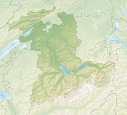
| Position map | |||||
|
|
|||||
The Tour de Moron stands on the mountain of the same name in the municipality of Valbirse in the canton of Bern . It was designed by the architect Mario Botta . The project was launched to promote the masonry profession and to introduce apprentices to stonemasonry. A total of around 700 apprentices worked on the construction, the construction time took around four years.
situation
The tower, built in 2004 from limestone , concrete and steel , is 30.80 meters high. 209 steps lead to the viewing platform at a height of 26 meters.
The platform offers a view over the Jura to the Bernese Alps .
From Malleray a 3 meter wide leads unpaved road up to de Chaîne Moron. From there you can reach the tower in about 15 minutes.
360 ° panorama from the Tour de Moron with a view of the Alps
Web links
Commons : Tour de Moron - Collection of images, videos and audio files


