Ťahanovce
| Ťahanovce | |
|---|---|
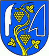
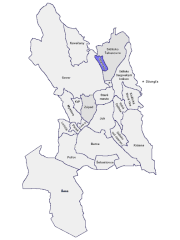
| coat of arms | map |

|

|
| Basic data | |
| State : | Slovakia |
| Kraj : | Košický kraj |
| Okres : | Košice I |
| Region : | Košice (region) |
| Area : | 7.276 km² |
| Residents : | 2,532 (Dec. 31, 2019) |
| Population density : | 348 inhabitants per km² |
| Height : | 221 m nm |
| Postal code : | 040 13 |
| Telephone code : | 0 55 |
| Geographic location : | 48 ° 45 ′ N , 21 ° 15 ′ E |
| License plate : | KE |
| Kód obce : | 598127 |
| structure | |
| Community type : | district |
| Administration (as of November 2018) | |
| Mayor : | Ján Nigut |
| Address: | Miestny úrad Košice-Ťahanovce Ťahanovská 28 04013 Košice |
| Website: | www.kosice.sk |
| Statistics information on statistics.sk | |
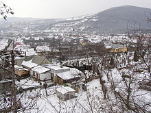
Ťahanovce (Hungarian Hernádtihany - until 1902 Tihany ) is a district of Košice , in Okres Košice I in eastern Slovakia north of the city center.
Web links
Commons : Ťahanovce - collection of images, videos and audio files
