East Caicos
| East Caicos | ||
|---|---|---|
| Position of the island | ||
| Waters | Atlantic Ocean | |
| Archipelago | Caicos Islands | |
| Geographical location | 21 ° 42 ′ N , 71 ° 30 ′ W | |
|
|
||
| length | 13 km | |
| width | 7 km | |
| surface | 90 km² | |
| Highest elevation |
Flamingo Hill 48 m |
|
| Residents | uninhabited | |
| main place | Jacksonville (historic) | |
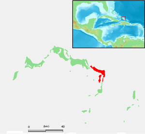
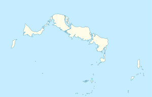
East Caicos is the northeasternmost island of the Caicos Islands and belongs to the British overseas territory of the Turks and Caicos Islands .
The island is separated from Middle Caicos and South Caicos by narrow estuaries, which can only be navigated by small boats. The area of East Caicos is about 90 km². In addition, there are extensive swamp and mud flats in the south and southeast, so that the land area is considerably larger at low water (total approx. 182 km²). On East Caicos lies Flamingo Hill , with a height of 48 meters the highest "mountain" of the Turks and Caicos Islands.
East Caicos has been uninhabited for over 100 years. In the past (up to the beginning of 1900) there were large sisal plantations and farm workers' homes here . Only a few ruins remain today from the then capital of the island of Jacksonville, located on the north coast.
Web links
- Website of the Turks and Caicos Islands East Caicos (English)
- East Caicos. In: visittci.com. Visit Turks and Caicos Islands Limited.
literature
- HE Sadler, Marjorie Sadler, Karen Collins: Turks Islands Landfall. A History of the Turks & Caicos Islands . Marjorie E. Sadler, Grand Turk - Turks and Caicos Islands 1997, ISBN 976-8138-62-9 .

