Goose neck, Schorenberg, Burgberg and Schmitzkopf
Coordinates: 50 ° 23 ′ 42 ″ N , 7 ° 12 ′ 6 ″ E
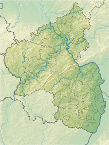
The nature reserve Gänsehals, Schorenberg, Burgberg and Schmitzkopf is located in the district of Mayen-Koblenz in Rhineland-Palatinate .
The approximately 555 hectare area, which was placed under nature protection in 1988 , extends east of the local community Rieden and west of the local community Bell . The B 412 runs to the north- east, the L 82 state road and the A 61 run to the east . The highest point in the area is the 575.3 m high goose neck .
See also
Web links
- Gaensehals, Schorenberg, Burgberg and Schmitzkopf (map) on protectedplanet.net
- 13722 Ordinance on the nature reserve "Gänsehals, Schorenberg, Burgberg and Schmitzkopf" in the district of Mayen-Koblenz from January 12, 1988 (PDF) on naturschutz.rlp.de

