Ilha do Governador
| Ilha do Governador | ||
|---|---|---|
| Waters | Guanabara Bay | |
| Geographical location | 22 ° 48 ′ S , 43 ° 13 ′ W | |
|
|
||
| Highest elevation | Morro do Dendê 99 m |
|
| Residents | 450,000 | |
| main place | Ilha do Governador (district of Rio de Janeiro ) | |
| Ilha do Governador in Guanabara Bay | ||
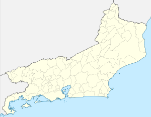
The Ilha do Governador ( Portuguese for governor's island) is the largest island in Guanabara Bay and a district of Rio de Janeiro . Around 450,000 people live on the 42 km² island.
One third of the island is covered by the Rio de Janeiro-Antônio Carlos Jobim International Airport . The island has been connected to the Fundão Island by the Ponte do Galeão since 1949 , which in turn is connected to the mainland. In the meantime, three more bridges have been added. A significant part of the island's living space is covered with favelas . But there are also middle-class residential areas.
The name Ilha do Governador dates back to the 16th century when a governor built a house on the island during the colonial period. The Cariocas (residents of Rio de Janeiro) usually only call the island Ilha (island).


