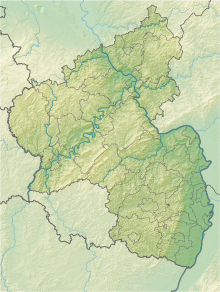
Katzenbacherhang
Coordinates: 49 ° 38 ′ 49 ″ N , 7 ° 49 ′ 55 ″ E
The Katzenbacherhang nature reserve is located in the Donnersbergkreis in Rhineland-Palatinate .
The approximately 29 hectare area, which was placed under nature protection in 1981 , extends east of the local community of Katzenbach . The Hoppbach flows on the southern edge of the area. The B 48 runs not far to the west and flows the Alsenz . State road L 386 runs south of the area .
The protection purpose is the preservation of the near-natural oak - hornbeam forest and the animal and plant communities linked to this biotope as well as the protection of the natural forest cell for scientific reasons.

