Paama
| Paama | ||
|---|---|---|
|
Satellite image: Paama is the island below the one marked in red. |
||
| Waters | Pacific Ocean | |
| Archipelago | New Hebrides | |
| Geographical location | 16 ° 28 ′ 0 ″ S , 168 ° 13 ′ 0 ″ E | |
|
|
||
| length | 9.1 km | |
| width | 3.6 km | |
| surface | 32.3 km² | |
| Highest elevation | 187 m | |
| Residents | 2000 62 inhabitants / km² |
|
| main place | Liro | |
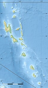
| Map of Paama and Lopévi | ||
Paama is an island in the Southwest Pacific New Hebrides and part of the island republic of Vanuatu . It is one of the three main islands in the Malampa Province . Today around 2000 people live in an area of 32 km².
Paama, like most of the islands in the New Hebrides, is of volcanic origin. The densely forested island is nine kilometers long, almost 4 kilometers wide and up to 187 meters high. It is located in the middle between the islands of Ambrym in the north and Épi in the south. Seven kilometers east of Paama is the uninhabited island of Lopévi .
Paama's main town, Liro, is located on the northwest coast. There is also a runway for small planes that is difficult to approach and is located right between the coast and a steep hill.


