
Gmina Głubczyce
| Gmina Głubczyce | |||
|---|---|---|---|

|
|
||
| Basic data | |||
| State : | Poland | ||
| Voivodeship : | Opole | ||
| Powiat : | Głubczyce | ||
| Geographic location : | 50 ° 12 ′ N , 17 ° 50 ′ E | ||
| Residents : | s. Gmina | ||
| Postal code : | 48-100 | ||
| Telephone code : | (+48) 77 | ||
| License plate : | OGL | ||
| Economy and Transport | |||
| Street : | Opole - Brno | ||
| Next international airport : | Wroclaw | ||
| Katowice | |||
| Gmina | |||
| Gminatype: | Urban-and-rural parish | ||
| Gmina structure: | 54 localities | ||
| 44 school offices | |||
| Surface: | 294.33 km² | ||
| Residents: | 22,316 (Jun. 30, 2019) |
||
| Population density : | 76 inhabitants / km² | ||
| Community number ( GUS ): | 1602033 | ||
| Administration (as of 2014) | |||
| Mayor : | Adam Krupa | ||
| Address: | ul. Niepodległości 14 48-100 Głubczyce |
||
| Website : | www.glubczyce.pl | ||

The Gmina Głubczyce [ gwupˈʧɨʦɛ ] is an urban-and-rural municipality in the powiat Głubczycki of the Opole Voivodeship in Poland . The seat of Powiat and municipality is the city of the same name ( German Leobschütz ; Czech Hlubčice ) with about 12,700 inhabitants.
geography
_location_map.png)
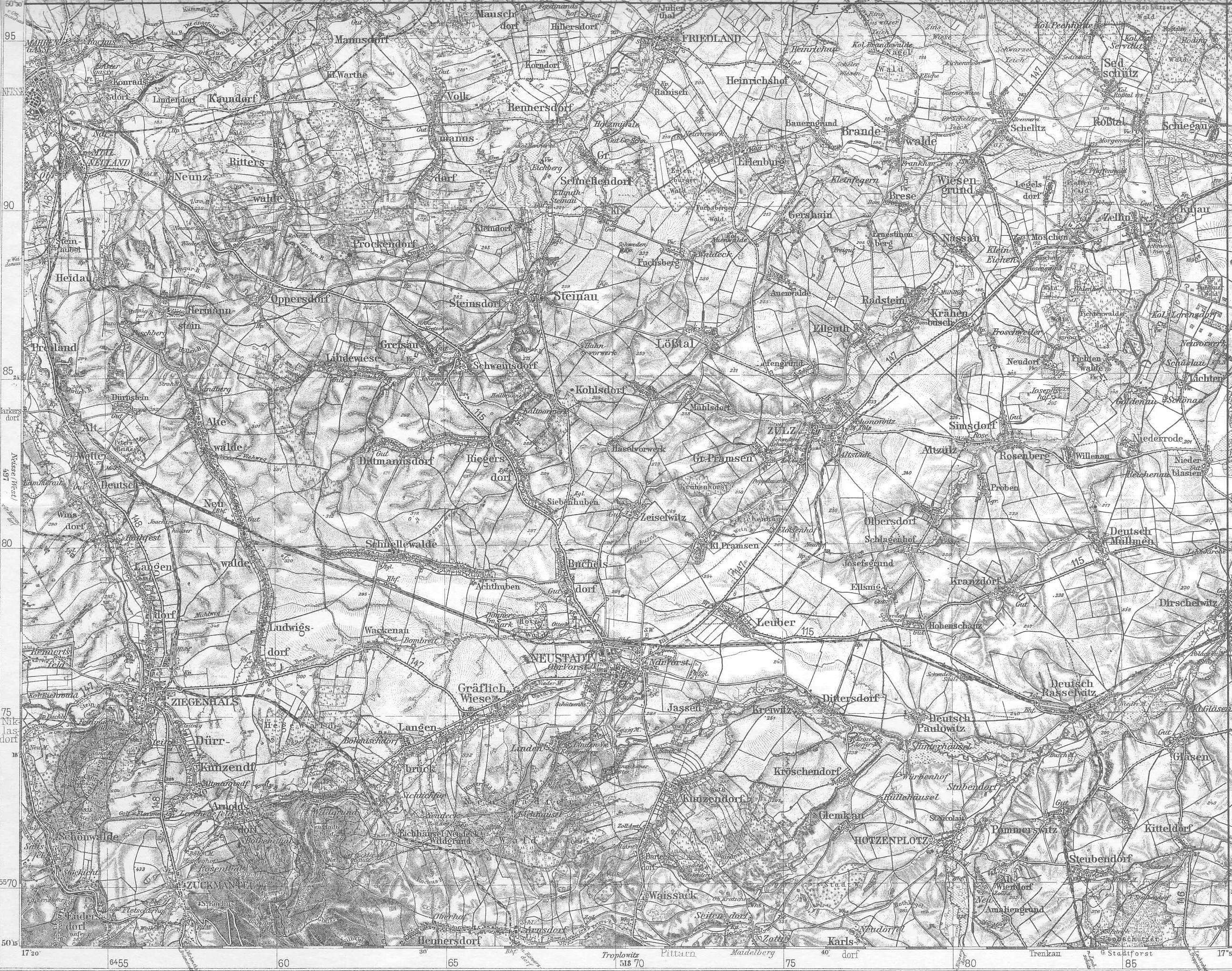
The municipality is located in Silesia about 50 kilometers south of the voivodeship capital Opole (Opole) . The Psina (Zinna) belongs to the waters . The municipality borders the Czech Republic in the west and south-west .
history
The municipality came to the Opole Voivodeship in 1950, which changed its layout several times until 1999. The powiat Głubczycki was re-established in 1999.
Sister cities and municipalities
- Krnov , Czech Republic
- Město Albrechtice , Czech Republic
- Rockenhausen , Germany
- Rusín , Czech Republic
- Saint-Rémy-sur-Avre , France
- Sbarash , Ukraine
structure
The town-and-country community Głubczyce extends over an area of 294.3 km² and, in addition to the town, includes another 45 villages (German names up to 1945) with a Schulzenamt :
- Bernacice ( Wernersdorf )
- Bernacice Górne ( Wernersdorf (train station) )
- Biernatów ( Berndau ) with
- Biernatówek ( Klein Berndau )
- Bogdanowice ( Badewitz , 1936–1945: Badenau ) with
- Bogdanowice Kolonia ( bathing joke colony )
- Braciszów ( Bratsch )
- Chomiąża ( Komeise )
- Chróstno ( Saliswalde )
- Ciermięcice ( Türmitz )
- Debrzyca ( Schönbrunn )
- Dobieszów ( Dobersdorf )
- Gadzowice ( Schmeisdorf )
- Głubczyce-Sady
- Gołuszowice ( Kreuzendorf )
- Grobniki ( Gröbnig )
- Kietlice ( Kittelwitz , 1936–1945: Kitteldorf )
- Klisino ( Gläsen ) with
- Klisinko (small glasses)
- Krasne Pole ( Schönwiese )
- Królowe ( King's Village )
- Krzyżowice ( Kreisewitz )
- Kwiatoniów ( Blümsdorf )
- Lenarcice ( Geppersdorf ) with
- Podlesie (Feldhof)
- Lisięcice ( Leisnitz OS ) with
- Nowosady (Neustift)
- Lwowiany ( Schlegenberg ) with
- Głubczyce-Las Marysieńka ( Leobschütz City Forest )
- Mokre ( Mocker )
- Mokre – Kolonia ( Mocker train station )
- Nowa Wieś Głubczycka ( Neudorf )
- Nowe Gołuszowice ( New Kreuzendorf )
- Nowe Sady ( Kreuzwald )
- Nowy Rożnów ( New Roznow )
- Opawica ( Troplowitz )
- Pielgrzymów ( Pilgrim's Village )
- Pietrowice ( Peterwitz , 1936–1945: Zietenbusch )
- Pomorzowice ( Pommerswitz )
- Pomorzowiczki ( Alt Wiendorf ) with
- Stara Wieś ( New Wiendorf )
- Radynia ( Raden )
- Równe ( robes )
- Sławoszów ( Amaliengrund ) with
- Dobrogostów ( Karlsberg Colony )
- Ściborzyce Małe ( Steubendorf )
- Tarnkowa ( Trenkau )
- Widok
- Zawiszyce ( Sabschütz ) with
- Studzienica ( Kaltenhausen )
- Zopowy ( Soppau )
- Zopowy Osiedle ( Soppau settlement )
- Zubrzyce ( Sauerwitz )
Personalities

- Carl Proske (1794–1861), church musician and clergyman, born in Gröbnig
- Gustav Adolf Boenisch (1802–1887), landscape painter, draftsman and architect, born in Soppau
- Henry Mosler (1841–1920), American painter, born in Troplowitz
- Johannes Reinelt alias Philo vom Walde (1858–1906), writer and local poet, born in Kreuzendorf
- Paul Zorner (1920–2014), fighter pilot, born in robes.
literature
- Jadwiga Królikowska: głubczycko-krnowski region: historia, turystyka, gospodarka = Głubczyce-Krnov region: history, tourism, economy (PDF file; 6.9 MB) . Głubczyce 2004. ISBN 83-914926-5-6 .
- Katarzyna painter, Roman Gohly: Głubczyce i okolice: Przewodnik . Wrocław 2005.
- Dehio Handbook of Art Monuments in Poland. Silesia . Munich · Berlin 2005, ISBN 3-422-03109-X , pp. 311-314.
- Mieczysław Razik: Głubczyce przedwczoraj i jutro? . Branice 2008.
- Aurelia Hołubowska: Skarby pogranicza: przewodnik po regionie głubczycko-krnowskim . Kraków 2009.
Web links
- Official website of the city and municipality (German, Polish, English)
Individual evidence
- ↑ population. Size and Structure by Territorial Division. As of June 30, 2019. Główny Urząd Statystyczny (GUS) (PDF files; 0.99 MiB), accessed December 24, 2019 .
- ↑ The Genealogical Place Directory
- ↑ http://www.posselt-landkarten.de/karte_498.jpg
