
Heliography of the protection force in German South West Africa
_ehemaliges_Deutsch-S%C3%BCdwest-Afrika.jpg)
The heliography of the protection force in German South West Africa made it possible for the military as well as civil companies and individuals to transmit telegrams in the colony of German South West Africa (today Namibia ) over long distances at previously unknown speeds.
technology

Heliographs ( modern Greek ήλιος sun ), also called heliotelegraphs , are devices with which sunlight can be reflected in the direction of a partner station, often several dozen kilometers away. The apparatus consists of two approximately 20 centimeters large mirrors that are carried on a tripod . The first mirror directs the sunlight onto the second mirror. The second mirror can be tilted back and forth between two positions with a button. The mirror is held in the rest position with a spring. The second mirror is adjusted with an aiming device so that the sunlight is reflected in the direction of the partner station when the button is pressed, i.e. when the mirror swivels into the second position. The transmission soldiers at the partner station then see the remote heliograph lighting up. In this way telegrams were transmitted with the Morse code . The transmission soldiers of the receiving station wrote down the telegram, which is also called the heliogram , and directed their own heliograph in the direction of the next station. The heliographs for the protection force in German South West Africa were supplied by Carl Zeiss from Jena .
To transmit telegrams at night, the troops used signaling devices with flames of gas from a pressure bottle. The gas mixture consisted of acetylene and oxygen . The light from the flame was directed towards the partner station with a lens.
Heliography is also known as pioneering graphics because it was the forerunner of later cable telegraphy. Heliography was so suitable in German South West Africa because laying telegraph cables through the mountainous and inhospitable country was very laborious. With cable telegraphy there was also the risk that the cables could be cut by animals, the harsh climatic conditions or by the enemy. The number of sunny days is very high in the area, which further justified the use of heliographs.
commitment

Not only transmission troops, but also mobile units, such as field survey troops, received heliographs in order to be able to communicate over long distances. The signal department in German South West Africa consisted of 9 officers and over 200 signalists. These operated 36 heliographs and 71 signaling devices. The devices were transported by horse or mule. Transporting the operating materials was laborious as the oxygen was in heavy pressure cylinders. During the night telegrams could be transmitted with the lamps over a distance of 80 or 100 kilometers. During the day, the heliographs were clearly visible up to a distance of 50 kilometers.
Two to six men were assigned to each transmission station. These had to do their work for a long time and independently. Night guards kept a lookout and woke the signalists as soon as the opposite station lit up. Often 30 telegrams were sent in 24 hours. The life of the signalists was associated with many hardships. On the one hand, they had to expect attacks at any time and, on the other hand, they threatened to get sick due to the stressful everyday life and poor nutrition. Many station crews were ambushed.

The first heliograph lines were built in 1901, 17 years after the colony was founded. In order to connect the state capital Windhoek with the more distant regions of the protected area, a line was first created to the north and a line to the south. First a heliograph line connected Windhoek with Okahandja . The heliograph station in Windhoek was then located in the fortress , the headquarters of the protection force. In the same year, on December 9, 1901, the connection to Keetmanshoop to the south was opened. There were eleven intermediate stops on the 500 km long heliograph route Windhoek - Keetmanshoop. Only two words could be passed in a minute. It took five to six hours to send thirty words from Gibeon to Windhoek (300 km). The heliotelegraph route Windhoek - Gibeon is recorded on an old map on display in the Swakopmund Museum. The route ran from the Feste in Windhoek to the Auasberge , from there to Rehoboth , Tsumis and over two other posts to Remmhöhe, Pforte, Falkenhorst and Gibeon.
In 1902 the line Karibib - Omaruru - Okowakuatjivi - Etaneno - Outjo was created . A signal connection from Windhoek to Gobabis was also established to the east .
In particular, the line to the south was of particular strategic importance during the war against the Nama . Through them, news of current war events could be sent directly to the administration in Windhoek in a short time, where further measures were decided.
“There was a large signal line leading to Keetmanshoop, on which the news from the south was flashed to us. Telegrams kept arriving at headquarters day and night. The number of response telegrams required was up to a hundred in 24 hours. "

Here it becomes clear what significance this means of communication had for the conduct of war by the Germans, who were able to coordinate their acts of war in a better and uncomplicated manner with this then new media technology. The heliograph connections were set up and maintained in particular where laying a telegraph cable was difficult or not worthwhile. The lines were later released for the transmission of civil telegrams. After the end of the war, the heliograph routes were mainly used for civilian traffic.
Among many other places, heliographs were also used on the Spiegelberg , which is so called because it was mirrored on the mountain, on the Dicken Wilhelm , on the Waterberg , on the Klein-Nauas Schutztruppenturm and, among others, on Farm Jakkalskop and Farm Sandverhaar. The ruins of the walls that the signal soldiers erected to protect themselves against the weather are still preserved on the latter farms. Heliographs were also located at Fort Namutoni and Halali in what is now Etosha National Park .
See also
Web links
Individual evidence
- ↑ a b c Sebastian Mantei: From the "sandbox" to the communication network The history of the development of the post and telegraph system in the colony of German South West Africa (1884-1915). Dissertation, Martin Luther University Halle-Wittenberg, Chapter 7, pp. 162–169, December 2004.
- ^ Map in Die Reiter von Südwest , Vinzent Janus, Mars-Verlag Karl Siwinna (1937)
- ↑ a b Remmhöhe and gate on a map in South West Africa under German colonial rule. Volume 2: The large agricultural and mining companies (1885–1914), by Horst Drechsler
- ↑ Maximilian Bayer : With the headquarters in South West Africa . Berlin 1909, p. 209. DNB: bibliographic evidence
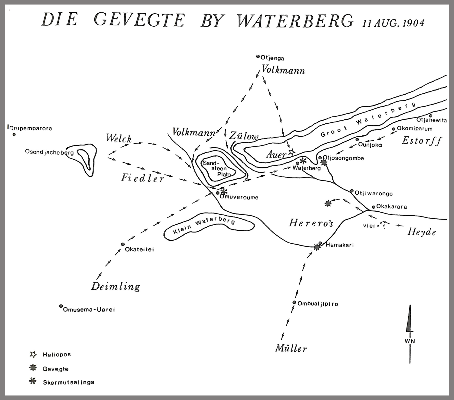
- ↑ Drawn heliograph station on the map Die Gevegte by Watergerg
- ↑ The heliograph station on Farm Jakkalskop was at the coordinates 26 ° 36'29.58 "S 016 ° 36'50.48" E
- ↑ The heliograph station on Farm Sandverhaar was at the coordinates 26 ° 49'09.80 "S 017 ° 26'51.14" E