Izumisano
| Izumisano-shi 泉 佐野 市 |
||
|---|---|---|
| Geographical location in Japan | ||
|
|
||
| Region : | Kinki | |
| Prefecture : | Osaka | |
| Coordinates : | 34 ° 24 ' N , 135 ° 20' E | |
| Basic data | ||
| Surface: | 54.35 km² | |
| Residents : | 100,239 (October 1, 2019) |
|
| Population density : | 1844 inhabitants per km² | |
| Community key : | 27213-2 | |
| Symbols | ||
| Flag / coat of arms: | ||
| Tree : | ginkgo | |
| Flower : | Lilium japonicum | |
| town hall | ||
| Address : |
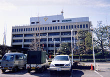
Izumisano City Hall 1 - 295 - 3 , Higashi, Ichiba Izumisano -shi Ōsaka 598-8550 |
|
| Website URL: | http://www.city.izumisano.lg.jp/ | |
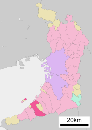
| Location Izumisanos in Osaka Prefecture | ||
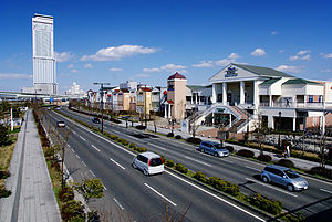
Izumisano ( Japanese 泉 佐野 市 , - shi ) is a city in Osaka Prefecture in Japan .
geography
Izumisano is located south of Osaka and Sakai . The northern part of the man-made island that houses Kansai Airport belongs to Izumisano.
history
The district town ( - chō ) Sano was on 1. April 1948 the independent city ( - shi appointed). On the same day, the province name Izumi was prefixed to the city name to distinguish it , because in the prefecture Tochigi / province Shimotsuke there was a city Sano-shi since 1943 .
traffic
- Train:
- Street:
- Hannan Autobahn
- National Road 26,170,481
Neighboring cities and communities
Personalities
- Fumitaka Kitatani (* 1995), football player
Web links
Commons : Izumisano - collection of images, videos and audio files
- Japanese bankrupt city wants to sell its name ( Die Welt, November 1, 2012)


