Ottmarsheim power plant
| Ottmarsheim power plant | ||
|---|---|---|
| location | ||
|
|
||
| Coordinates | 47 ° 46 '26 " N , 7 ° 31' 21" E | |
| country |
France Haut-Rhin department |
|
| place | Ottmarsheim | |
| Waters | Rhine canal | |
| power plant | ||
| operator | EdF | |
| Start of operation | 1952 | |
| technology | ||
| Bottleneck performance | 160 megawatts | |
| Average height of fall |
15.5 m | |
| Turbines | 4 × Kaplan turbine | |
| Others | ||
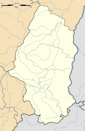
The Ottmarsheim power plant is a run-of-river power plant on the Rhine canal (French: Grand Canal d'Alsace ) in France . It is located near Ottmarsheim about 15 kilometers east of Mulhouse . The Ottmarsheim power plant is the second power plant in the course of the Rhine Canal, which is derived from the Rhine some 20 kilometers upstream. For navigation on the canal, a lock with two lock chambers was built in a parallel section of the canal . To the north of the power plant, the A36 autoroute or federal motorway 5 crosses the Rhine canal and the Rhine on the Ottmarsheim Rhine bridge .
In the Versailles Treaty in 1919, France was granted the sole right to develop the Rhine as a border river between Germany and France. The power plant, which went into operation in 1952, is part of Électricité de France .
Web links
- International database for buildings and civil engineers , structurae.de: hydroelectric power plant Ottmarsheim - photo and picture gallery
- Information (PDF; 2.9 MB) about EDF's Rhine power plants.

