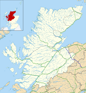
A939 road
| A939 road in the UK | |
| map | |
| Basic data | |
| Operator: | |
| Start of the street: |
Nairn ( 57 ° 35 ′ N , 3 ° 51 ′ W ) |
| End of street: |
Bridge of Gairn ( 57 ° 4 ′ N , 3 ° 4 ′ W ) |
| Overall length: | 96.6 km (60 mi ) |
|
Highland , Moray , Aberdeenshire , Scotland |
|
| The A939 between Tomintoul and Corgarff | |
|
Course of the road
|
|
The A939 road is an A-road in the Scottish Council Areas Highland , Moray and Aberdeenshire .
course
The road begins as a junction from the A96 ( Aberdeen - Inverness ) to the east of Nairn . It runs in a south-easterly direction through the sparsely populated areas of the region. In Littlemill the A939 crosses the Muckle Burn . Five kilometers to the southeast the road reaches Loch Belivat and then crosses the Findhorn . You reach the hamlet of Ferness , where the B9007 crosses. The A940 ( Forres - Dava ) joins the lake Lochindorb , near the crossing of the Dorback Burn . In the area of the confluence, the A939 forms the border between Highland and Moray.
A few kilometers south, the A939 leads into the Cairngorms and crosses the lonely Dava Moor . About two kilometers north of Grantown-on-Spey , the road passes under a bridge of the former Highland Main Line , which had only been of secondary importance since the construction of the shorter route between Inverness and Aviemore and which fell victim to the Beeching Ax in 1965 . One of the access gates and the former private stopping point for Castle Grant east of the A939 , formerly owned by Lord Strathspey , Chief of Clan Grant , form a joint structure with the bridge. The entire facility is a listed building. In Grantown-on-Spey, the A939 is the main road and crosses the town. Beyond the city it crosses the Spey and runs for around 1.5 km together with the A95 ( Portsoy - Banff ). The A939 then crosses the Burn of Lochy and the Avon . Beyond Tomintoul , the road follows the course of Conglass Water and climbs up to almost 650 meters at the Lecht Ski Center . In this area the road is often closed in winter due to drifting snow , at the Ski Center it changes from Moray to Aberdeenshire.
Beyond the top of the pass, the A939 quickly loses altitude and reaches the valley of the River Don near Corgarff Castle, which is crossed twice within about one kilometer. The A944 ( Aberdeen- Corgarff) joins beyond Corgarff . At the confluence, the course bends south, so that the Don is crossed a third time. The B976 joins immediately beyond the Gairn crossing . The A939 ends after a total length of 96.6 km on the A93 ( Perth - Aberdeen) near the village of Bridge of Gairn .

