
Friedrich-Ebert-Strasse (Bremen)
| Friedrich-Ebert-Strasse | |
|---|---|
|
|
|
 |
|
| View from Gastfeldstr. Towards the city center | |
| Basic data | |
| city | Bremen |
| district | Neustadt |
| Created | around 1900 |
| Cross streets | Am Deich, Sankt-Pauli-Deich, Osterstr., Afkortenstr., Große Johannisstr. Neustadtswall, Buntentorsteinweg , Neustadtscontrescarpe , Mainstr ., Lahnstr ., Kornstr ., Pappelstr ., Gastfeldstr., Erlenstr ., Thedinghauser Str. , Helene-Kaisen -Weg, Schleiermacherstr ., Neuenlander Strasse . |
| use | |
| User groups | Tram, cars, bikes and pedestrians |
| Road design | three- to four-lane road, two tram tracks |
| Technical specifications | |
| Street length | 2700 meters |

The Friedrich-Ebert-Strasse is a main road in the north-south direction in the Bremen Neustadt (Bremen) . It is one of the three central main streets that lead from the new town to the city center. It leads from the Wilhelm-Kaisen-Brücke past the Teerhof to Neuenlander Straße / Flughafenendamm .
The blocks were among others named after trees and rivers as well as on the dike after the Weser dyke, Sankt Pauli dike after the St. Pauli Church from 1682 to 1944, Osterstraße to the eastern location of the road, Afkortenstraße to?, Great Johannisstraße by named Johann or even after a St. John , Neustadtswall and Neustadt Contrescarpe after the Bremen city wall and its Wall in the new town of around 1620 and guest field road after the Low German word for barley nfeld ; otherwise see the link to the streets.
history
Names

Since 1945 the street has been named after the first elected Reich President Friedrich Ebert . Ebert lived in Bremer Neustadt from 1891 to 1906. Here began his political ascent as a social democrat , trade unionist, editor at the Bremer Bürger-Zeitung as well as member and SPD parliamentary group leader of the Bremen citizenship . After his time in Bremen he became party secretary (1906), member of the Reichstag (1912) and party chairman (1913) of the SPD. In Germany there are many streets with the name of Ebert.
The street had different names before:
- The northern part of the street was built north of Leibnizplatz before 1905 and was called “Brückenstraße” because it was an extension of the Great Weser Bridge.
- The main part of the street was built around 1914. Around 1927 it was called "Rathenaustraße" after Walther Rathenau, who was murdered in 1922 . In the time of National Socialism it was called "Richthofenstrasse" after the fighter pilot in World War I Manfred von Richthofen († 1918).
- The former southern part of the street was called in the time of National Socialism only Captain Goering Street and then Hermann Goering -Straße .
In 1945 these three streets were combined to form Friedrich-Ebert-Straße. The house numbers were only retained for Brückenstraße. In 1954 the southern part of the street leading to the airport was separated again and was named Flughafenendamm .
New town emerged until 1800
In the 17th century, the city fortifications of Bremen had to be redesigned and expanded for technical reasons. Bremer Neustadt was initially created not so much to take up space, but to protect Bremen with fortifications on the left bank of the Weser . The old Neustadt was settled only slowly . The larger portion of the area remained garden land for a long time and beyond the fortifications meadows and arable land.
In the old new town was built in 17./18. In the 19th century the horse walk was followed by Rolandsstraße , which led to the Schwarzpottwall . These streets were to the west of today's Friedrich-Ebert-Straße.
The new town 1800 to 1900
The fortifications were no longer up to date around 1800; they were removed. The course of the north-south roads was interrupted by the city moat until 1891. On the ditch, which was then partially filled in (west of today's Schulstrasse), green spaces and barracks from around 1890 on Neustadtscontrescarpe u. a. the preserved barracks IV of the Bremen infantry regiment .
From 1900 to 1940
The part of the city ditch between today's Schulstrasse and the Buntentor existed until at least 1910, to the southwest of it a route was completely kept free. Around 1905 the construction of a canal was planned here. Finally the trench was filled in and a park was created.
A new road was built on the previously cleared route (no earlier than 1910, no later than 1914), today's Friedrich-Ebert-Strasse.
The Neustadt now expanded to Neuenlander Straße and the district Südervorstadt was created from 1900 to 1930. Most of the houses / terraced houses were built, which are known as Bremen houses .
The properties along Friedrich-Ebert-Straße were still shown as grassland on a plan from 1927, which was correct at least for the southern section of the street. In the early 1930s, mostly four-storey apartment blocks with clinker brick facades up to Neuenlander Strasse were built here. This development, which is atypical for Bremen, still shapes the appearance of the street today.
Development since 1940
.jpg)


During the Second World War , the northern area of the road near the Weser was destroyed. The second Great Weser Bridge (then Lüderitz Bridge ) over the Weser was destroyed in 1945 and restored by 1947. The Great Weser Bridge , since 1980 the Wilhelm Kaisen Bridge , was built around 40 meters up the Weser by 1960 and replaced the old bridge. This changed the northern road connection. The baroque St. Pauli Church from 1682 on Osterstrasse on the banks of the Little Weser was totally destroyed in 1944. Friedrich-Ebert-Straße begins above the property in the axis to the bridge.
traffic
The first horse-drawn tram in Neustadt ran in 1880 from the Bremen market square over the Great Bridge to the Buntentor . This line was electrified in 1900.
From 1914 the street was used by the tram of line 5, which initially ended at Gastfeldstraße. In 1924 it was extended to include Pappelstrasse , and since 1934 trams have also run along the entire street and beyond to the airport.
Since January 1967, the flow of traffic has been accelerated by banning left turns from Friedrich-Ebert-Straße on the entire section between Leibnizplatz and Neuenlander Straße in both directions. The former Kornstraße and Erlenstraße tram stops were abolished, and the Neuenlander Straße stop was relocated to Schulweg (now Helene-Kaisen-Weg) and this stop was later renamed Schleiermacherstraße .
The street has been used by the Bremen tram line 6 ( University - Airport ) since 1998 , previously it was line 5. North of Leibnizplatz there is also line 4 ( Lilienthal - Arsten ), north of Osterstraße there is also line 8 ( Huchting - Kulenkampffallee ) and bus line 24 ( Rablinghausen - Neue Vahr ).
building
Worth mentioning include:
- East corner to the St. Pauli dike: St. Pauli Stift senior citizens' housing complex , four and seven-story plastered building from 1997 based on plans by Manfred Schomers and Rainer Schürmann
- West corner to Am Deich: 8-gesch. Residential and commercial building over a bunker
- No. 11–15: 4-storey listed residential and commercial buildings from 1906/07 in the style of the turn of the century based on plans by Friedrich Lüthke in the group of houses in Rückertstrasse / Osterstrasse.
- School at Leibnizplatz (address: Schulstraße 24): 3-storey, listed red stone building from 1909 according to plans by master builder Max Fritzsche from Building Inspection II in the style of the turn of the century with Art Nouveau elements
- No. 6 to 26, opposite the school: two-storey commercial buildings (shops) and a seven-storey residential and commercial building from 1963 based on plans by Herbert Anker and Gerhard Müller-Menckens , behind ( Zentaurenstrasse ) a six-storey residential complex with five buildings; all buildings with red stone facades.
- No. 101–109 corner of Neustadtscontrescarpe 44: 3-sided Neoclassical plastered building with hipped roofs from around 1900. This was the headquarters of the Sie brothers until 1973 . Since 1974 the district library Neustadt (until 2004), the office for advisory affairs south, later the local office Neustadt / Woltmershausen (until around 1988) and the office for (family support and) social services , department south (until around 1980 ) were in the now August-Hagedorn -Haus ) housed. After renovations, the building complex has been used as the center of the SOS Children's Village in Bremen and again by the local office since 2010/11 . Furthermore, there are now several apartments in the house.
- No. 154–172, 155–173 and 180–216, 179–215 in the street sections between Pappelstrasse / Gastfeldstrasse and Erlenstrasse / Thedinghauser Strasse : four- to five-storey apartment blocks with mostly clinker brick facades in the style of the moderns from 1930/31 of the trade union housing association ( Bauhütte Hansa in Bremen, today GEWOBA ) based on plans by JB Berner and E. Bohne. 465 apartments for socially disadvantaged families were built.
Monuments
- Centaur fountain from 1890/91; Sculpture by the sculptor August Sommer , base by Eduard Gildemeister . Originally the fountain at Schwachhauser Heerstraße / Bismarckstraße stood until it was moved to the green belt at Leibnizplatz in 1958 .
- Seated couple : The bronze sculpture from 1973 is by the sculptor Alice Peters-Ohsam and is located on the corner of Neustadtscontrescarpe near Leibnizplatz.
See also
literature
- Eberhard Syring: Bremen and its buildings - 1950–1979 . Schünemann Verlag, Bremen 2014, ISBN 978-3-944552-30-9 .
Individual evidence
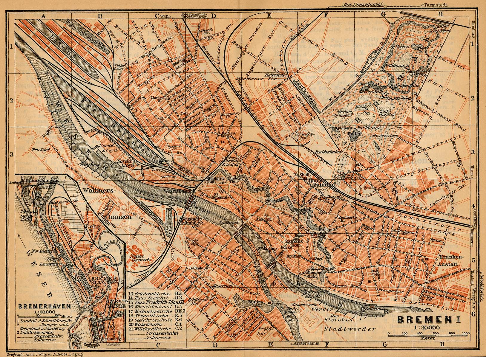
- ↑ a b City map of Bremen 1905
- ↑ a b City map of Bremen 1927
- ^ Letter to the editor from Hermann Röpke: Unnecessary work and large costs, Weser-Kurier of January 12, 1973, Nord-Kurier S. IV, online only for subscribers
- ^ Renaming of streets, Weser-Kurier of June 26, 1946, p. 4, online only for subscribers
- ↑ Flughafenendamm and Seumestrasse , Weser-Kurier of May 29, 1954, online only for subscribers
- ^ Johann Daniel Heinbach: Floor plan of the Keisserlichen-Freyen Reichs- and Ansee city of Bremen, with their Vorstaetten. Copper engraving. 1757.
- ^ Carl Ludwig Murtfeldt: Floor plan of the city of Bremen. 1796.
- ^ Bornemann: plan from 1829.
- ↑ City map of Bremen 1910
- ↑ Faster through Ebert-Strasse, Weser-Kurier of January 16, 1967, p. 9, online only for subscribers
- ↑ Property page in the architecture guide of bremen
- ^ Bremen Chamber of Architects (ed.): Architecture in Bremen and Bremerhaven. Worpsweder Verlag, Bremen 1988, ISBN 3-922516-56-4 , example 108.
Coordinates: 53 ° 4 ′ 6 ″ N , 8 ° 47 ′ 48 ″ E