from Wikipedia, the free encyclopedia
In the list of cultural monuments in Grammetal , all cultural monuments of the Thuringian community Grammetal (district Weimarer Land) are listed (as of April 26, 2012).
Single monument Single monument
image
location
Official name
description
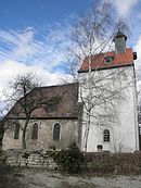
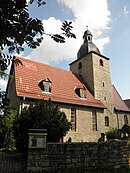
Church with a churchyard
graveyard
Gravestone of two Italian slave laborers
In the Unterdorfe
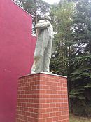
Fallen memorial
In Unterdorfe 35
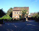
Homestead
next to the church
Waidmühlstein
Monument ensemble
image
location
Official name
description
Monument ensemble Dorfstraße with: Nos. 12–19, 22–42, 46
Individual monuments
image
location
Official name
description
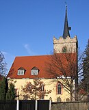
Steeple
Part of the Church of St. Mary
Dorfstrasse 18
Homestead
Dorfstrasse 19
portal
Dorfstrasse 25
Inscription stone
Dorfstrasse 32
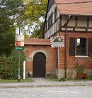
Gate, portal and baking house
Dorfstrasse 41
Residential building
Individual monuments Individual monuments
image
location
Official name
description
Church with a churchyard
Alte Schulstrasse 5
Homestead
At the control room
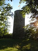
Watch tower
At Paradise 7
Residential building
Friedegasse 9
Homestead
Friedegasse 27
Portal and heraldic panel
Deep path 7
Inscription board
Deep way 9
Homestead (rectory)
Deep Way 11
Homestead
Deep Path 18
Inn
Deep way
Memorial death march stele
Deep way / by the church
Waidmühlstein
southwest of the place
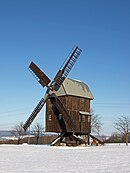
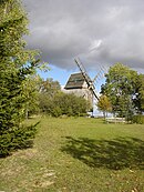
Windmill 1
Individual monuments
image
location
Official name
description
Church with a churchyard
At the church square
Waidmühlstein
Schloßgasse
Monument with enclosure (land reform monument)
Schlossgasse 10
portal
Schloßgasse 21, 22 / Lindenweg 7
former manor (former residential building and remains of the former fortification moat)
Schlossgasse 24
Grammetal school / elementary school
Ground monument
image
location
Official name
description
Gradually sloping terrain to the north on the western edge of the village
Moat, moat, Lauenburg Castle, Larvenburg
Monument ensemble
image
location
Official name
description
Monument ensemble town center with churchyard
Churchyard
Kirchgasse 1, 2, 5
Lindenstrasse 8 - 27
At the village pond
At the cherry orchard
Individual monuments
image
location
Official name
description
Church with a churchyard
At the village pond
water pump
Pump was moved to the village pond
Albert-Schweitzer-Strasse
water pump
Lindenstrasse 9
Residential building (former rectory)
Lindenstrasse 12
old house and gate
Lindenstrasse 20
Residential building
Lindenstrasse, in front of the church
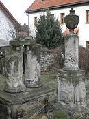
two woad millstones
Monument ensembles
image
location
Official name
description
Homestead line Angergasse 15, 17, 19, 23
southern homestead line of Erfurter Gasse, No. 1, 3, 5, 9
Individual monuments
image
location
Official name
description
Church with a churchyard
graveyard
Mourning hall
Am Wartenberge (east of the village)
Watch tower
Angergasse 1
Inn with homestead
Angergasse 2/4
Homestead
Angergasse 5
Homestead
Angergasse 17
House and stable
Angergasse 27
House and portal
Angergasse 31
Homestead
On the sand 5
Homestead
On the sand 10
House, gate and portal
On the sand 23
Homestead (rectory)
Narrow alley 10
eastern outbuilding
Erfurter Gasse 9
Homestead
Steinstockgasse
Bridge and sea wall
Steinstockgasse 8
Gate and portal
Steinstockgasse 13
former mill building and barn
Töpfergasse 21
Mill building, stable and gate
Road to Ottstedt a. Mountains / Ollendorf
Signpost
Monument ensemble
image
location
Official name
description
Barracks complex Obernohra
Individual monuments
image
location
Official name
description
Nohra
Church with churchyard and mortuary
Herrenstrasse 18
Former stable house No. 20
Herrenstrasse 21
Homestead
Herrenstrasse 22
Homestead
Herrenstrasse 32
Homestead (rectory)
Herrenstrasse 41
Homestead
Individual monuments
image
location
Official name
description
Church with a churchyard
at the cemetery
Grave and memorial for Allied soldiers of the Second World War
At the train station 52
barn
In the upper village
Waidmühlstein
In the upper village
Spring vault
In the upper village
pump
In the upper village 5
Bakehouse and Gate
Way to Troistedt
Signpost
western outskirts
Memorial - death march stele
Ground monument
image
location
Official name
description
Immured in the south wall of the church at a height of 3 m
Stone cross
Individual monuments Individual monuments Individual monuments Monument ensemble
image
location
Official name
description
In the village 7, 12–15, 31, 32, 37, 39, 42–50
Individual monuments
image
location
Official name
description
Church with a churchyard
In the village 15
Homestead (parish)
In the village 35
former forest and hunting lodge
Carl-Alexander-Platz
Stone table and bench
Ground monument
image
location
Official name
description
1 km west-northwest of the place in Gottesholz
Burial mound field
Individual monuments
image
location
Official name
description
Church with churchyard and historical tombs
In the village
Monument (WML de Wette)
Dorfstrasse 8
Residential building
Dorfstrasse 17
Residential building (former manor house)
Dorfstrasse 20
Gate and portal
Individual monuments
image
location
Official name
description
Church with a churchyard
Erfurter Strasse 2
Residential building (former rectory)
Weimarer Strasse 32
House, portal and gate
Weimarer Strasse 54
former brewery
Weimarer Strasse
Pump (in front of the brewery)
Weimarer Strasse
Fallen memorial
on the B 7
Napoleon stone
Web links
<img src="https://de.wikipedia.org//de.wikipedia.org/wiki/Special:CentralAutoLogin/start?type=1x1" alt="" title="" width="1" height="1" style="border: none; position: absolute;">
