Calvert Road
| Calvert Road | ||||||||||||||||||||||||||||||||||
|---|---|---|---|---|---|---|---|---|---|---|---|---|---|---|---|---|---|---|---|---|---|---|---|---|---|---|---|---|---|---|---|---|---|---|

|
||||||||||||||||||||||||||||||||||
| map | ||||||||||||||||||||||||||||||||||
| Basic data | ||||||||||||||||||||||||||||||||||
| Operator: | NT Roads | |||||||||||||||||||||||||||||||||
| Start of the street: |
between Corella Creek and Wallhallow ( NT ) ( 18 ° 5 ′ S , 135 ° 39 ′ E ) |
|||||||||||||||||||||||||||||||||
| End of street: |
east of Calvert Hills ( NT ) ( 17 ° 8 ′ S , 137 ° 34 ′ E ) |
|||||||||||||||||||||||||||||||||
| Overall length: | 257 km | |||||||||||||||||||||||||||||||||
|
States : |
||||||||||||||||||||||||||||||||||
| Development condition: | unpaved | |||||||||||||||||||||||||||||||||
|
Course of the road
|
||||||||||||||||||||||||||||||||||
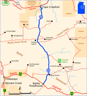
The Calvert Road is a gravel road in the east of the Australian Northern Territory . It connects the Tablelands Highway (N66) between Corella Creek and Wallhallow with the Savannah Way (R1) east of Calvert Hills .
course
The road runs through the northeast part of the Barkly Tablelands in a southwest-northeast direction. The flat, warm plateau has hardly any rivers and streams that do not drain away again after a few hundred kilometers. One such stream is Cresswell Creek on the western section of Calvert Road. The Calvert River and its tributary, the Little Calvert River , in the eastern section of the road, however, find their way north into the Gulf of Carpentaria .
There is only one sheep station for the entire 257 km, Calvert Hills on the Little Calvert River. Another, Cresswell Downs , is north of Cresswell Creek on the road of the same name that connects Calvert Road to its continuation to the west, the Barkly Stock Route (also State Route 16).
The highest point along the road is at 313 m, the lowest at 146 m.
The entire length of the road is unpaved.
source
Steve Parish: Australian Touring Atlas . Steve Parish Publishing. Archerfield QLD 2007. ISBN 978-1-74193-232-4 . P. 99
Individual evidence
- ↑ maps.bonzle.com - Calvert Road . Retrieved April 19, 2012.
