Craigieburn Forest Park
| Craigieburn Forest Park | ||
| Geographical location | ||
|
|
||
| Coordinates | 43 ° 6 ′ S , 171 ° 34 ′ E | |
| Country : | New Zealand | |
| Region (s) : | Canterbury | |
| Location: | south adjacent to Arthur's Pass National Park | |
| Protected area | ||
| Protected area type: | Forest Park | |
| Founded: | 1967 | |
| expansion | ||
| Number of areas: | 11 | |
| Length : | approx. 30 km | |
| Width : | approx. 17 km | |
| Area : | 446.94 km² | |
| Mountains : | Black Range , Craigieburn Range , Birdwood Range , Cascade Range , Rollestone Range | |
| Rivers : | Wilberforce River , Avoca River , Harper River , Cass River , Broken River | |
| The Office Department of Conservation | ||
| Office: |
Arthur's Pass National Park Visitor Center 106 Main Westcoast Road Arthur’s Pass |
|
| Photography from Forest Park | ||
 Baldy Hill , Craigieburn Range |
||
The Craigieburn Forest Park is a standing reserve forests in the region Canterbury on the South Island of New Zealand . The park is subordinate to the Department of Conservation .
geography
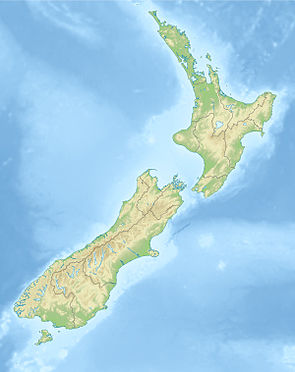
The 44,694 hectare large Craigieburn Forest Park is located in the Southern Alps , south of the adjoining Arthur's Pass National Park . The park consists of eleven individual areas, whereby the twelve smaller areas are grouped around the Wilberforce River to the west of the larger park area, which has a length of around 30 km in a west-northwest-east-southeast direction . In the north-south direction, the park is around 17 km at its widest point. The area can be reached via the New Zealand State Highway 73 , which , coming from Christchurch via Darfield , touches the park to the east and northeast, and then continues north via Arthur's Pass to the west coast of the South Island.
history
The park was established in 1967.
literature
- New Zealand Touring Atlas . 5th edition. Hema Maps , Brisbane 2015, ISBN 978-1-877302-92-3 (English).
Web links
- Craigieburn Forest Park . Department of Conservation,accessed March 30, 2020.
- Craigieburn Forest Park - Day walks . (PDF; 557 kB)Department of Conservation, 2007,accessed on March 30, 2020(English).
Individual evidence
- ^ A b New Zealand Touring Atlas . 2015, p. Map 51, Map 52 .
- ↑ a b Coordinates and longitudes were determined using Goggle Earth Pro Version 7.3.2.5776 on March 30, 2020
- ↑ Simon Nathan : National and Conservation Parks . In: Te Ara - the Encyclopedia of New Zealand . Ministry for Culture & Heritage , August 3, 2015, accessed March 30, 2020 .
