Mount Richmond Forest Park
| Mount Richmond Forest Park | ||
| Geographical location | ||
|
|
||
| Coordinates | 41 ° 35 ′ S , 173 ° 25 ′ E | |
| Country : | New Zealand | |
| Region (s) : | Marlborough | |
| Location: | southeast of Nelson | |
| Protected area | ||
| Protected area type: | Forest Park | |
| Founded: | March 4th 1977 | |
| expansion | ||
| Number of areas: | 7th | |
| Area : | 1 659.46 km² | |
| Mountains : | Richmond Range , Bryant Range , Bull Range | |
| Lakes : | Lake Chalice | |
| Rivers : | Motueka River , Goulter River , Lee River , Pelorus River , Onamalutu River , | |
| The Office Department of Conservation | ||
| Office: |
Wairau / Renwick Office Gee Street Renwick Marlborough 7204 |
|
The Mount Richmond Forest Park is a standing reserve forests in the region Marlborough on the South Island of New Zealand . The park is subordinate to the Department of Conservation .
Origin of name
The park was named after Mount Richmond , which is the highest point in the park with its 1760 m height.
geography
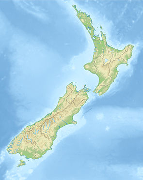
The 165.946 hectare large Mount Richmond Forest Park is located southeast of Nelson in the mountains of the Richmond Range , the Bryant Range and the Bull Range , in the northern part of the South Island. The park consists of seven parts, with the largest part of the park extending over a length of around 85 km over the Richmond Range and with a side branch over the Bryant Range . At its widest point, the park is about 25 km. Two more multi-armed parts are located at the northeast end of the park, while the remaining parts, as small scattered islands, flank the larger parts of the park. The park can be reached via the New Zealand State Highway 6 and 63 , which border the park in the north and east, as well as in the south and west. On the south side of the park, the Wairau River flows east and flows into the Pacific Ocean at Blenheim .
The only lake in the park is Lake Chalice, which was dammed up around 2000 years ago, probably due to an earthquake .
history
The Mount Richmond Forest Park was finalized on 4 March 1977 the publication and dissemination in the New Zealand Gazette passed its destination.
literature
- New Zealand Touring Atlas . 5th edition. Hema Maps , Brisbane 2015, ISBN 978-1-877302-92-3 (English).
Web links
- Mount Richmond Forest Park . Department of Conservation,accessed March 28, 2020.
Individual evidence
- ↑ a b Mount Richmond Forest Park . Department of Conservation , accessed March 28, 2020 .
- ^ A b New Zealand Touring Atlas . 2015, p. Map 39, Map 40, Map 43, Map 44 .
- ↑ Coordinates and longitudes were determined using Goggle Earth Pro Version 7.3.2.5776 on March 28, 2020
- ↑ Christopher Cookson : Lake Chalice . Marlborough Online , February 20, 2019, accessed March 28, 2020 .
