
Hjerpsted Sogn
| Hjerpsted Sogn | |||||
|
|||||
| Basic data | |||||
|---|---|---|---|---|---|
| State : |
|
||||
| Region : | Syddanmark | ||||
|
Municipality (since 2007) : |
Tønder | ||||
| Municipality / Office : (until the end of 2006) |
Højer Kommune Sønderjyllands Amt |
||||
|
Harde / Amt: (until March 1970) |
Tønder, Højer og Lø Herred Tønder Amt |
||||
| Coordinates : | 55 ° 1 ′ N , 8 ° 39 ′ E | ||||
|
Population : (2020) |
88 | ||||
| Postal code : | 6280 Hjerpsted | ||||
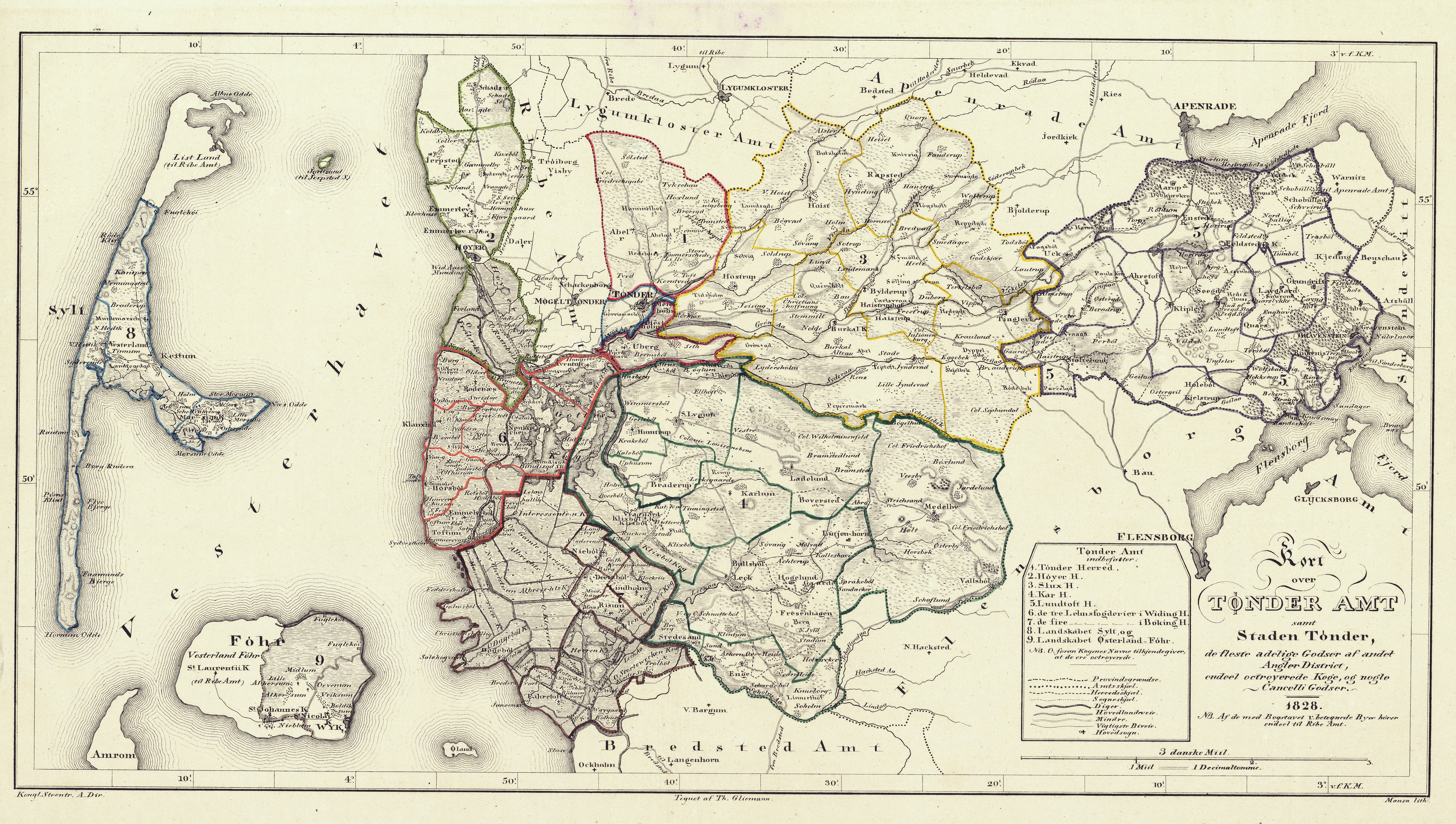
 Location of the parish |
|||||


Hjerpsted Sogn ( dt. Jerpstedt ) is a parish municipality ( Danish : Sogn ) in Northern Schleswig , Denmark . It is located northwest of the city of Tønder (dt. Tondern ) directly on the coast of the North Sea diagonally across from the island of Rømø (dt. Röm ). It belonged to Harde Tønder, Højer og Lø Herred in what was then Tønder Amt until 1970 , then to Højer Kommune (Eng .: Hoyer ) in what was then Sønderjyllands Amt , which became part of the “new” Tønder Kommune in the course of local reform on January 1, 2007 the region of Syddanmark has risen.
Municipal area

Hjerpsted is one of the smallest communities in North Schleswig and had 88 inhabitants on January 1, 2020, spread over an area of 11.14 km².
The parish lies entirely on a tongue of geest that extends directly to the North Sea and forms a small edge as an extension of the " Emmerlev Klev" (Eng. Emmerleff cliff ). There are therefore no marshes in Hjerpsted. Nevertheless, the country is fairly flat, the highest point is only 17 meters above sea level.
In addition to the church village of Hjerpsted, Koldby , which is further north, is the only larger settlement.
Hjerpsted borders in the north on the parish Ballum and at one point on the road on Skast (dt. Schads ), in the east and south on Emmerlev.
In addition, the former small Hallig Jordsand belongs to the municipality , which is now only a sandbank and protected as a bird sanctuary .
history
Numerous burial mounds, some of which are well preserved, prove that Hjerpsted was settled as early as the Neolithic Age. In the Middle Ages, the place belonged to the Hoyer harde . Without a doubt, the parish used to be larger, but has been decimated by storm surges. Some properties in the parish belonged to the Bishop of Ribe and thus belonged to the Kingdom of Denmark until 1864, while the rest were under the authority of Tondern .
After the war of 1864 , Hjerpsted came to the Kingdom of Prussia, like almost the entire Duchy of Schleswig . From 1867 it formed its own rural community in the Tondern district . In the referendum on state membership on February 10, 1920, 136 Jerpstedter voted for Denmark and only 20 for Germany. In the office of Tondern, now again Danish, but reduced to the northern half, Hjerpsted formed a politically independent parish until the municipal reform in 1970, despite its small size. Until 2006, Hjerpsted belonged to Højer and since 2007 to the greater Tønder municipality, whose area roughly corresponds to the office that was dissolved in 1970.
Attractions
On the North Sea west of the village within sight of the coast is the Johanniskirche. It consists of granite blocks and is built in the Romanesque style. Hjerpsted is one of the best-preserved villages on the north Schleswig west coast with its numerous old thatched roof houses. A few larger burial mounds have been preserved north of the village.
Individual evidence
- ↑ Statistics banks -> Befolkning og valg -> KM1: Befolkningen January 1st, April 1st, July 1st and October 1st, so and folkekirkemedlemsskab (Danish)
- ↑ Statistics banks -> Befolkning og valg -> KM1: Befolkningen January 1st, April 1st, July 1st and October 1st, so and folkekirkemedlemsskab (Danish)
- ↑ Kort over Tønder Amt (1828) Link