
Naab Wondreb Depression
| Naab Wondreb Depression | |||
|---|---|---|---|
 |
|||
| surface | 662.5 km² | ||
| Systematics according to | Handbook of the natural spatial structure of Germany | ||
| Greater region 1st order | Low mountain range threshold | ||
| Greater region 2nd order | Eastern low mountain range threshold | ||
| Main unit group | 39 → Thuringian-Franconian low mountain range |
||
| 4th order region (main unit) |
396 → Naab Wondreb Depression |
||
| Natural area characteristics | |||
| Landscape type | Basin | ||
| Highest peak | (near Leonberg) ( 589 m ) | ||
| Geographical location | |||
| Coordinates | 49 ° 53 '34.6 " N , 12 ° 17' 13" E | ||
|
|||
| circle | Tirschenreuth district | ||
| state | Bavaria | ||
| Country | Germany | ||

The Naab-Wondreb-Senke , or alternatively called Waldnaab-Wondreb-Senke , separates the Fichtelgebirge in the northwest from the Upper Palatinate Forest in the southeast and ends shortly after Waldsassen , where the two mountain ranges are only separated by the course of the Wondreb . Behind Hundsbach, the lower Eger basin opens up . In the middle lies the watershed between the Waldnaab in the southwest and the Wondreb in the northeast. This low-lying section of the European main watershed was an important traffic route between Bavaria and Franconia and Bohemia in the Middle Ages and forms the center of the Stiftland .
The Naab-Wondreb sink provides natural spatially after the cross-border German classification, the main unit 396 within the main unit group 39 ( Thüringisch-Fraenkisches Mountain group), which expires here to southeast. Since September 2010 there has been a new design for the natural areas of northeast Bavaria.
Geography and geology
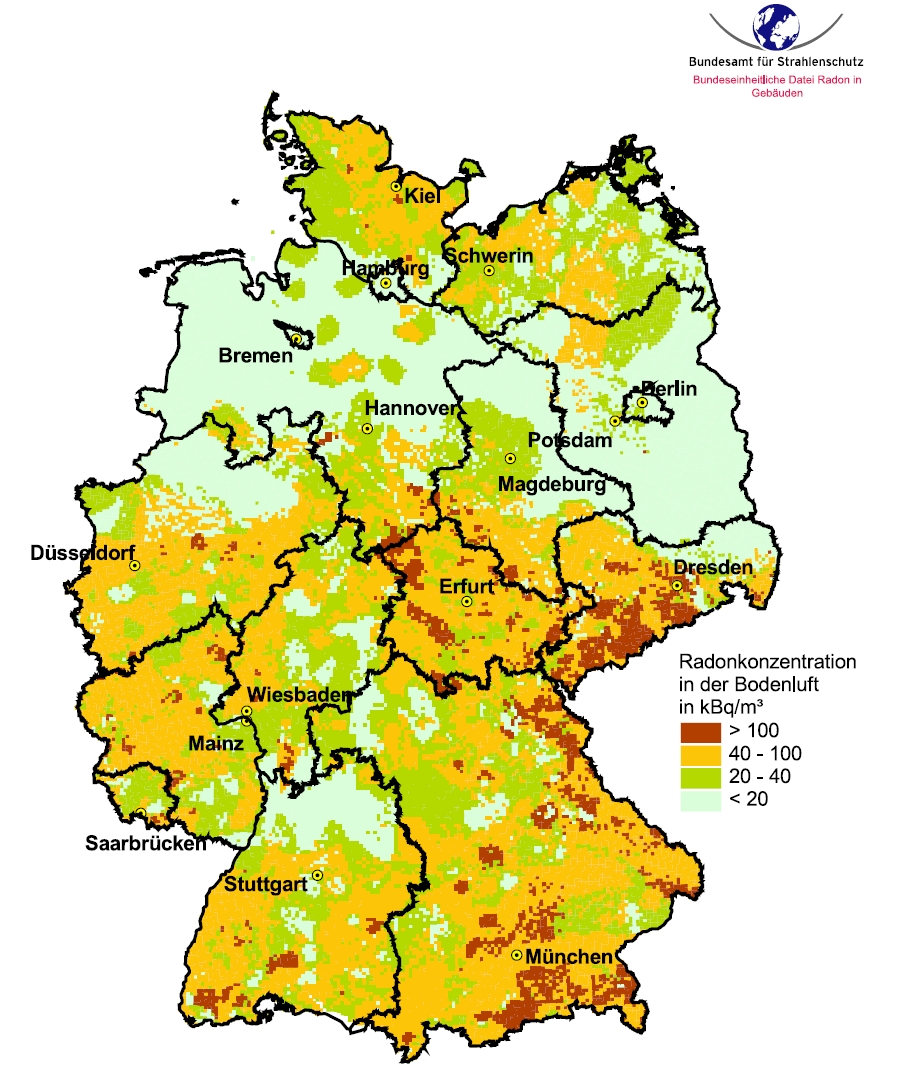
Between Tirschenreuth , Waldsassen, Mitterteich , Fuchsmühl and Falkenberg, the landscape is slightly undulating with heights of 550 m to 460 m above sea level. The transitions to the higher mountains are fluid, so it is difficult to define them. As the mountain range rises, this area descends. In the south, especially around Falkenberg, the Waldnaab breaks through a low threshold, which also rises, and forms a 50 m deep canyon , the Waldnaab valley. A coarsely crystalline granite prevails there, and the earth's radiation is also one of the highest in Bavaria. The valley of the Fichtelnaab no longer belongs to the Naab-Wondreb-Senke, because it flows along the Erbendorfer disturbance, a side branch of the Franconian line . There are significant kaolin pits around Tirschenreuth , which were created by the weathering of the granite.
Agriculture
To the south of Wiesau and north-west of Tirschenreuth there are extensive forests in the core area of the area, which are framed by agricultural land. The numerous ponds and ponds in these forests form the so-called pond pans, give the landscape a Scandinavian look and are used for carp breeding. Intensive arable farming takes place mainly on the southern slope of the Steinwald and on the upper reaches of Waldnaab and Wondreb. The dominant dairy industry in the past is still important, despite adverse circumstances.
Hydrography
In addition to the wetlands in the floodplains and on the edges of ponds, there are also many still waters within the forest complexes . There are near-natural forests such as swamp forests and deciduous forests as well as abandoned clay pits and quarries . The climate is strongly continental (and montane), with strong summer warming and cold winters (40–50 ice days / 100–120 frost days). The annual amount of precipitation is 600–650 mm and is therefore slightly below average. Upper Miocene clays dominate the geological subsurface and form water-impermeable storage horizons. This often leads to long-lasting high water levels - a prerequisite for the very “humid character” of the landscape with its extensive wetlands and the ponds that characterize the landscape.
natural reserve
Both the Waldnaabaue, not to be confused with the Waldnaab Valley , and the Wondrebaue are under nature protection ( list of FFH areas in the Tirschenreuth district ). The typical animal species for the region include osprey , black stork , crane , kingfisher , beaver , otter , moor frog , crested newt , freshwater pearl mussel , great moss damsel , grass snake and adder . The BfN assumes that forest remnants will be preserved or develop and that pond management will be extensive . The potential natural vegetation of the Naab-Wondreb-Depression would be a quaking grass harrow-pedunculate oak-hornbeam forest partly in a complex with black alder - ash - swamp forest .
Individual evidence
- ↑ a b Emil Meynen , Josef Schmithüsen (ed.): Handbook of the natural spatial structure of Germany . Federal Institute for Regional Studies, Remagen / Bad Godesberg (1953–1962, 9 deliveries in 8 books, updated map 1: 1,000,000 with main units 1960).
- ^ Geotopes in the Tirschenreuth district. Archived from the original on August 16, 2016 ; accessed on October 1, 2019 . The basin, shown in yellow and filled with tertiary deposits, forms the central area of the depression
- ↑ Soil formations on Heusterzbühl. Bavarian State Office for the Environment, accessed on March 1, 2020 .
- ^ Karl Heinrich Vollrath: Viola in Northeast Bavaria (page 132-133)
- ↑ New raw material potential between Mitterteich and Tirschenreuth. see objective. Bavarian State Office for the Environment, archived from the original on July 1, 2016 ; accessed on October 2, 2019 .
- ↑ 31st Annual Meeting of the Working Group on Paleopedology of the German Soil Science Society ( Memento from July 1, 2016 in the Internet Archive ) Lecture by Dr. Peterek with map on p. 31
- ↑ https://lh4.googleusercontent.com/-gDV-VxpaYTY/TYcXk1_xRfI/AAAAAAAALA4/xP5RTaUWxPE/s1600/Deutschlandkarte_Radonkarte_2003.gif
- ↑ Tirschenreuther Teichpfanne on oberpfalz-luftbild.de accessed on November 1, 2019
- ↑ Chinese like happy cows
- ↑ Large-scale nature conservation project Waldnaabaue: Area characteristics onkreis-tir.de accessed on July 1, 2020
- ↑ Climate Tirschenreuth - Station Tirschenreuth-Lodermühl (501 m) on wetterdienst.de accessed on July 1, 2020
- ↑ BfN: Waldnaabaue ( Memento from August 14, 2017 in the Internet Archive )
- ↑ Potential natural vegetation in Bavaria, overview map with explanations, ed. v. Bavarian State Office for the Environment, Augsburg 2012.
Web links
- Landscape profile of the Naab-Wondreb-Senke at the Federal Agency for Nature Conservation
- Wolfram H. Geissler: Seismic and Petrological Investigations of the Lithosphere in the Swarm-Earthquake and CO 2 Degassing Region Vogtland / NW-Bohemia. Dissertation to obtain the academic degree doctor rerum naturalium (Dr. rer. Nat.) Of the Faculty of Geosciences at the Free University of Berlin. Scientific Technical Report STR05 / 06, GeoForschungsZentrum Potsdam, 2004 ( PDF 15.3 MB)