Pushkinsky Gory
| Urban-type settlement
Pushkinskije Gory
Пушкинские Горы
|
||||||||||||||||||||||||||||||||||
|
||||||||||||||||||||||||||||||||||
|
||||||||||||||||||||||||||||||||||
Pushkinskije Gory ( Russian Пу́шкинские Го́ры ) is an urban-type settlement in the Pskov Oblast in Russia with 5222 inhabitants (as of October 14, 2010).
geography
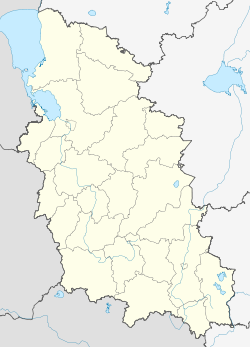
The place is about 100 km as the crow flies south-southeast of the Pskov Oblast Administrative Center , a few kilometers from the right bank of the Velikaya .
Pushkinskiye gory is the administrative center of the Rajons Puschkinogorski and seat of the municipality (gorodskoje posselenije) Puschkinogorje, belong to the next settlement 118 villages.
Pushkin's tomb
history
The place arose in the 16th century as Sloboda Tobolenez at the Svyatogorsky Dormition Monastery founded in 1569 on the instructions of Tsar Ivan IV . Based on the name of the monastery, the place was also unofficially referred to as Svjatyje Gory (literally "Holy Mountains").
On May 25, 1925, the place received its current name ("Pushkin Mountains") after the most important Russian poet Alexander Pushkin , whose family estate Mikhailovskoye is located a few kilometers north of the place. He often stayed in Mikhailovskoye for a long time and wrote some of his most important works there. His grave is in the Svyatogorsky Monastery. On August 1, 1927, Pushkinskije Gory was the administrative seat of a newly created, first as Pushkinsky, from May 11, 1937 as Pushkinogorsky Rajons.
During the Second World War , Pushkinskije Gory was occupied by the German Wehrmacht from July 10, 1941 to July 12, 1944 .
On February 29, 1960, the place received urban-type settlement status.
Population development
| year | Residents |
|---|---|
| 1939 | 1672 |
| 1959 | 2412 |
| 1970 | 4037 |
| 1979 | 5845 |
| 1989 | 7067 |
| 2002 | 6089 |
| 2010 | 5222 |
Note: census data
traffic
The regional road 58K-500 leads to Pushkinskije Gory, which branches off about 20 km to the west in Novgorodka from the federal highway R23 Saint Petersburg - Pskov - Belarusian border (part of European route 95 ). In an easterly direction, the road continues as 58K-019 via Novorschew and Beschanizy to Loknja . The 58K-294 leads south and also reaches the R23 north of Opotschka .
Immediately to the west of the settlement ran the Pskov - Polatsk railway that was built in the First World War , but was destroyed and not restored during the Second World War. Today the nearest train stations are about 50 km northwest in Ostrow on the Saint Petersburg - Pskow - Daugavpils route ( Latvia ) and 60 km east in Beschanizy on the Saint Petersburg - Novosokolniki - Vitebsk route (Belarus).
Web links
Individual evidence
- ↑ a b Itogi Vserossijskoj perepisi naselenija 2010 goda. Tom 1. Čislennostʹ i razmeščenie naselenija (Results of the All-Russian Census 2010. Volume 1. Number and distribution of the population). Tables 5 , pp. 12-209; 11 , pp. 312–979 (download from the website of the Federal Service for State Statistics of the Russian Federation)


