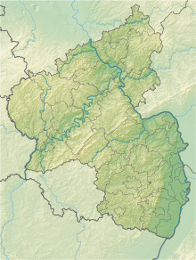
Farrenberg quarry
Coordinates: 49 ° 50 ′ 48 ″ N , 8 ° 19 ′ 58 ″ E
The Steinbruch am Farrenberg nature reserve is located in the Mainz-Bingen district in Rhineland-Palatinate .
The approximately 15 hectare area, which was placed under nature protection in 2002 , extends between the municipality of Dexheim to the west and the town of Oppenheim in the east, directly on the north-running district road 44. The federal highway 420 runs to the north- west and the Rhine flows to the east .
See also
Web links
- Farrenberg quarry (map) on protectedplanet.net
- 339-207 Ordinance on the nature reserve "Steinbruch am Farrenberg", Mainz-Bingen district of April 8, 2002 (PDF) on naturschutz.rlp.de
- Oppenheim. Three ponds for amphibians on October 22, 2014 on Allgemeine-zeitung.de

