Slopes southeast of Heidesheim
Coordinates: 49 ° 59 ′ 22 ″ N , 8 ° 7 ′ 24 ″ E
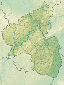
The nature reserve slope areas southeast of Heidesheim is in the area of the Mainz-Bingen district in Rhineland-Palatinate .
The 151.61 hectare nature reserve, which was placed under nature protection by ordinance of February 15, 2002 , extends between the Ingelheim districts of Heidesheim am Rhein in the north and Wackernheim in the south. The A 60 runs not far to the north and the L 419 state road to the south .
It is a richly structured cultural landscape area with, among other things, open sand areas , sand pine heaths, dry forest , areas used for fruit growing, orchards , near-natural spring and water areas, sunken paths and hedges .
See also
Web links
- Slopes southeast of Heidesheim (map) on protectedplanet.net
- Ordinance on the nature reserve "Slopes southeast of Heidesheim", Mainz-Bingen district of February 15, 2002 (PDF) on naturschutz.rlp.de

