The Hohenberg
Coordinates: 49 ° 53 ′ 30 " N , 8 ° 11 ′ 28" E
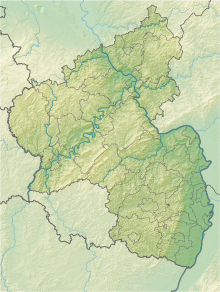
The nature reserve Der Hohenberg is located in the Mainz-Bingen district in Rhineland-Palatinate .
The 22 hectare area, which was placed under nature protection in 1990 , extends southwest of the city of Nieder-Olm and northwest of the local community of Sörgenloch along the Selz . The A 63 and the state road L 401 run not far to the west. The L 432 runs not far to the north and east.
The area, which is in the LSG "Selztal", includes an area of the Selz lowlands with near-natural brooks, ditches, bushes and rows of trees as well as with near-natural embankments and rainen . This includes richly structured slope areas.

