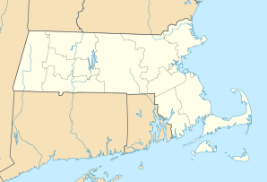
Tewksbury
| Tewksbury | ||
|---|---|---|
|
Location in Massachusetts
|
||
| Basic data | ||
| Foundation : | 1637 | |
| State : | United States | |
| State : | Massachusetts | |
| County : | Middlesex County | |
| Coordinates : | 42 ° 37 ′ N , 71 ° 14 ′ W | |
| Time zone : | Eastern ( UTC − 5 / −4 ) | |
| Residents : | 28,851 (as of: 2000) | |
| Population density : | 537.3 inhabitants per km 2 | |
| Area : | 54.5 km 2 (approx. 21 mi 2 ) of which 53.7 km 2 (approx. 21 mi 2 ) is land |
|
| Height : | 38 m | |
| Postal code : | 01876 | |
| Area code : | +1 978,351 | |
| FIPS : | 25-69415 | |
| GNIS ID : | 0618238 | |
| Website : | www.tewksbury.net | |
Tewksbury is a city in Middlesex County , Massachusetts , USA and has 28,851 inhabitants (2000). The city covers a total of 54.5 km² (0.9 km² of which is water).
Demographics
- 28,851 inhabitants
- 96.44% whiteness
- 1.59% Asians
- 1.22% Latinos
- 0.67% African American
- 0.12% Native Americans
- 0.01% South Sea Islanders
- 9,964 households
- 7,692 families
- 537.6 inhabitants per km²

