Burlington, Massachusetts
| Burlington | ||
|---|---|---|
 town hall |
||
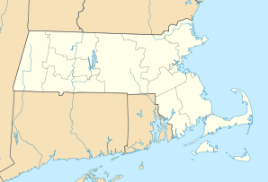
| Location in Massachusetts | ||
|
|
||
| Basic data | ||
| Foundation : | 1640 | |
| State : | United States | |
| State : | Massachusetts | |
| County : | Middlesex County | |
| Coordinates : | 42 ° 30 ′ N , 71 ° 12 ′ W | |
| Time zone : | Eastern ( UTC − 5 / −4 ) | |
| Residents : | 24,498 (as of 2007) | |
| Population density : | 795.4 inhabitants per km 2 | |
| Area : | 30.8 km 2 (approx. 12 mi 2 ) | |
| Height : | 66 m | |
| Postcodes : | 01803, 10805 | |
| Area code : | +1 339/781 | |
| FIPS : | 25-09840 | |
| GNIS ID : | 0618219 | |
| Website : | www.burlington.org | |
Burlington is a small town in Middlesex County in northeast Massachusetts .
The earliest settlement of Burlington dates back to 1641. The Francis Wyman House, whose construction dates back to 1666, still dates from this time. On February 28, 1799, Burlington was officially confirmed.
Between 1955 and 1965, the city boomed with the construction of Massachusetts Route 128 . The number of inhabitants, which was less than 4,000 before construction, quintupled by 1970.
Today there are offices of well-known IT companies such as Oracle , SAP , SunGard , Avid and Nuance as well as a development center of Sun Microsystems in Burlington .
Personalities
- David Lovering (born 1961), drummer
- Roderick MacKinnon (* 1956), Nobel Prize in Chemistry
- Amy Poehler (born 1971), actress

