
Archsum
|
Archsum
Sylt municipality
Coordinates: 54 ° 52 ′ 22 " N , 8 ° 23 ′ 37" E
|
||
|---|---|---|
| Height : | 4 m above sea level NHN | |
| Area : | 6.78 km² | |
| Residents : | 313 (May 25 1987) | |
| Population density : | 46 inhabitants / km² | |
| Incorporation : | January 1, 1970 | |
| Incorporated into: | Sylt-East | |
| Postal code : | 25980 | |
| Area code : | 04651 | |
Location of Archsum in Schleswig-Holstein |
||
.jpg) Panorama picture
|
||

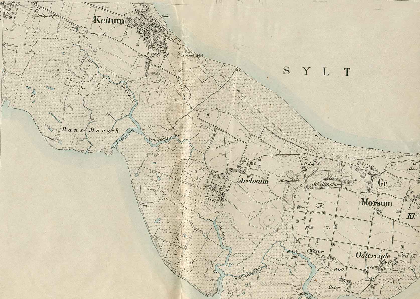
Archsum ( Danish : Arksum , North Frisian : Ārichsem ) is a village on the North Sea island of Sylt . Archsum was an independent municipality until 1970 and after its incorporation part of the municipality of Sylt-Ost , which existed until 2008 , which in turn became part of the newly formed municipality of Sylt on January 1, 2009 . Archsum is located around six kilometers southeast of Westerland between the villages of Morsum and Keitum and is administered by the Sylt Landscape Authority. Around 300 people live on an area of 679 hectares (as of 2001).
Archsum means settlement of the Arke or Erke . Archsum was first mentioned as Arxum in 1462 in the interest book of the Bishop of Schleswig . Excavations in the 1930s revealed that a settlement had existed since the Neolithic . In Mootjis Küül on Nösse dyke around the 5000 year old is passage grave Merelmerskhoog . Partly there are still old residential mounds, such as B. the Firstklent to see. The Archsum giant beds are known . In addition, the Archsum castle earth wall , which was largely removed in 1860, was in the place. Between 1969 and 1974 archaeologists dug in Old Archsum and found Archsum to be the Troy of the North . Evidence from the Stone Age and the Bronze Age was found and a settlement that lasted almost 2000 years was uncovered , as well as a village that existed between 700 and 1000 AD.

Agriculture and seafaring formed the livelihoods of the Archsum residents for a very long time. In 1611 there were 38 farms , around 150 people lived in the village. In 1709 there were 42 farms and eight independent cottages . 25 men and 53 families headed at the time as sailors on the North Sea . The dependence on this branch of activity was particularly evident in Archsum. With the successes especially in whaling , the population rose to 259 by 1745, including 40 seafarers . When coupling in 1787, 54 homeowners were counted. Many of the houses that have been preserved are from the Sylt captains . When seafaring had reached its peak, the number of farmsteads sank to 45 by 1850. Agriculture brought little income, so poverty became great. In this episode, the population fell to 129 by 1952, below the level of 1611.
As part of a land reclamation program supported by the National Socialist blood-and-soil ideology , it was possible in 1937 to dike and settle the Noesskoog (cf., among others, Adolf-Hitler-Koog , Hermann-Göring-Koog ). Before the Second World War, the population rose to 306 in 1939. Half of this, however, was accounted for by the Reich Labor Service , which housed workers here in camps for the construction of the Nössedeich.
Storm surges hit Archsum again and again. Bad harvests also contributed to the population decline. In 1961 Archsum became a climatic health resort . The Tourism is since that time is very important.
Web links
Individual evidence
- ↑ Location information Archsum ( page no longer available , search in web archives ) Info: The link was automatically marked as defective. Please check the link according to the instructions and then remove this notice.
- ↑ website Archsumer cultural area , accessed on 19 December 2013
- ↑ Lars Amenda: “People without space create space”. Racial policy and propaganda in the National Socialist land reclamation project on the west coast of Schleswig-Holstein, in: Informations zur Schleswig-Holsteinische Zeitgeschichte 45 (2005), pp. 4-31 (PDF; 228 kB) Accessed: December 28, 2008