Kotthausen 3
Coordinates: 51 ° 21 ′ 52 " N , 8 ° 40 ′ 55" E
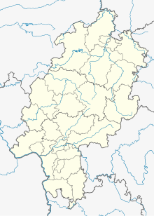
Kotthausen 3 is a deserted area in the district of Stormbruch in the North Hessian municipality of Diemelsee .
Geographical location
The place was about 386 meters above sea level about 2 kilometers northwest of Stormbruch and almost 2 kilometers northeast of Bontkirchen .
history
Kotthausen 3 was mentioned in a document in 1895 with a house and eight residents. In the 21st century there is a farm that burned down in 2008 and was rebuilt afterwards. In the area of Kotthausen 3 is the Itter level of the waterways and shipping office Hann. Münden and a place information board .
literature
- Gottfried Ganßauge, Walter Kramm, Wolfgang Medding: The architectural and art monuments in the Kassel administrative region, New Series, Volume 3, District of the Eisenberg , Bärenreiter-Verlag, Kassel, 1939, page 249. (digitized online)
- Cave, localities in Waldeck, p. 198, no. 20
- Johann Adolph Theodor Ludwig Varnhagen : Basis of the Waldeckische Landes- und Regentengeschichte , Volume 1, Verlag Vandenhoeck & Ruprecht, Göttingen, 1825. ( Page 52, digitized online )
Individual evidence
- ↑ a b Kotthausen 3 (Stormbruch district), Waldeck-Frankenberg district. Historical local dictionary for Hessen. (As of October 16, 2018). In: Landesgeschichtliches Informationssystem Hessen (LAGIS).
- ↑ Brilon fire brigade: Major fire on a farm ( Memento from June 6, 2019 in the Internet Archive )
- ↑ 112 Magazine: House and stable burned down ( Memento from June 6, 2019 in the Internet Archive )


