Dulenkerken
Coordinates: 51 ° 23 ′ 27 ″ N , 8 ° 55 ′ 8 ″ E
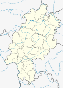
Dulenkerken is a deserted area in the district of Vasbeck in the North Hessian municipality of Diemelsee .
Geographical location
The location of the place is known approximately with coordinates of the State Historical Information System Hesse . It was located near Grimmenstein Castle , a castle complex built by the Counts of Waldeck . The place was about 377 meters above sea level northeast of Vasbeck on a southern slope north of the state road L 3078 from Vasbeck to Massenhausen . The field name "Auf der Eulenkirche" can be found there today.
history
Little is known about the history of the place. A known documentary mention can be found in a directory of tithe income from Corvey Abbey from the 13th century, in which the "munitio" Dulenkerken appears as a tithe property of the abbey. This "fortification" was probably a permanent house of the abbey.
literature
- Gottfried Ganßauge, Walter Kramm, Wolfgang Medding: The architectural and art monuments in the administrative district of Kassel . New episode Volume 2: Circle of Twist . Kassel, 1938, p. 270
Individual evidence
- ↑ a b c Dulenkerken (Vasbeck district), Waldeck-Frankenberg district. Historical local dictionary for Hessen. (As of October 5, 2018). In: Landesgeschichtliches Informationssystem Hessen (LAGIS).
- ↑ Liber vitae of Corvey Abbey, Vol. 1, p. 113, i.5.

