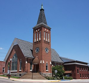
Mooresville, Indiana
| Mooresville | ||
|---|---|---|
 Mooresville Government Center |
||
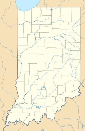
| Location in Indiana | ||
|
|
||
| Basic data | ||
| State : | United States | |
| State : | Indiana | |
| County : | Morgan County | |
| Coordinates : | 39 ° 36 ′ N , 86 ° 22 ′ W | |
| Time zone : | Eastern ( UTC − 5 / −4 ) | |
| Residents : | 9,273 (as of: 2000) | |
| Population density : | 648.5 inhabitants per km 2 | |
| Area : | 14.4 km 2 (about 6 mi 2 ) of which 14.3 km 2 (about 6 mi 2 ) is land |
|
| Height : | 217 m | |
| Postal code : | 46158 | |
| Area code : | +1 317 | |
| FIPS : | 18-50976 | |
| GNIS ID : | 0439412 | |
Mooresville is a town in Brown Township , Morgan County , in the US state of Indiana . In the 2000 census , there were 9,273 inhabitants .
geography
According to the United States Census Bureau , the city covers an area of 14.4 km² , 14.1 km² of which is land and 0.1 km² is water (0.36%).
Demographics
The 9,273 residents of Mooresville found in the 2000 census lived in 3,535 households; including 2,594 families. The population density was 646 per km². 3,688 residential units were recorded in the village, 3,535 of which were inhabited.
98.52% of the population are Caucasian, 0.09% African American , 0.30% Indians , 0.40% Asians , 0.02% of Pacific descent, 0.18% of various origins.
39.1% of households have children under the age of 18; 57.5% are married couples living together.
The median household income was $ 47,292 and the median family income was $ 52,543. The per capita income for Mooresville was $ 21,504. 4.2% of families and 4.3% of the population lived below the poverty line.
sons and daughters of the town
- Sheila F. Gagen (* 1956), composer and music teacher
- Nan Whaley (* 1976), politician
Individual evidence
- ^ Mooresville town, Indiana , 2000 census datasheet at factfinder.census.gov .
