Ngeriungs
| Ngeriungs | ||
|---|---|---|
| Satellite image | ||
| Waters | Pacific Ocean | |
| Archipelago | Kayangel (Atoll) | |
| Geographical location | 8 ° 3 '27 " N , 134 ° 42' 40" E | |
|
|
||
| length | 1.35 km | |
| width | 250 m | |
| surface | 27 ha | |
| Highest elevation | 3 m | |
| Residents | uninhabited | |
| Kayangel Atoll; Ngeriungs lower right. | ||
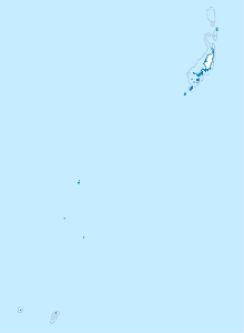
Ngeriungs is a small island in the southeast of the Kayangel Atoll , which geopolitically belongs to the Pacific island republic of Palau .
The densely forested island is located about 820 m south of the main island Kayangel , is 1,350 m long from north to south, with a width of 130 m in the south and 380 m in the north. The land area is 27 ha .
Ngeriungs is uninhabited.
Individual evidence
literature
- Republic of Palau Adventure and Dive Guide. Guide to the undisputed Best Diving in the World. Franko Maps Ltd. 2016.


