Kayangel (island)
| Kayangel | ||
|---|---|---|
| Satellite image of the island | ||
| Waters | Pacific Ocean | |
| Archipelago | Kayangel (Atoll) | |
| Geographical location | 8 ° 4 '57 " N , 134 ° 43' 8" E | |
|
|
||
| length | 2.57 km | |
| width | 500 m | |
| surface | 98 ha | |
| Highest elevation | 4 m | |
| Residents | 188 (April 1, 2005) 192 inhabitants / km² |
|
| main place | Doco | |
| Kayangel (atoll and island) | ||
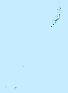
Kayangel , also called Ngcheangel or Ngajangel , is the only inhabited island in the Kayangel Atoll of the same name , which is located in the north of the Pacific island state of Palau , 70 km north of the capital Melekeok .
The flat, densely forested island of Kayangel can be found in the northeast of the atoll . It is 2,570 m long, with a width between 270 m in the south and 700 m in the north. The land area is almost 98 hectares . On the west side of the island, towards the lagoon , there are five very small villages ozw. Weiler ( Orukei , Dilong , Doko , Olkang , Dimes ) with a total population of 188 (as of April 1, 2005 Census). Together they form the "capital" of the Palauian state of Kayangel .
The island's electricity is generated solely by solar panels and private generators. There is a school and a library. The only purchase option is a small general store in Doko . The offer is supplemented by some fishing and agriculture. In the village of Doko , a striking, 130 m long jetty leads into the lagoon of the Kayangel Atoll.


