Schebalino
| Village
Schebalino
Шебалино
|
||||||||||||||||||||||||||
|
||||||||||||||||||||||||||
|
||||||||||||||||||||||||||
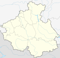
Schebalino ( Russian Шебалино ) is a larger village ( selo ) in the north of the Autonomous Republic of Altai , southwestern Siberia with 4924 inhabitants (as of October 14, 2010).
The town is the administrative center of the Rajons Schebalino and lies in the valley of the left Katun -Nebenflusses Sema on the Russian-Mongolian highway R256 that of Novosibirsk past Gorno-Altaisk coming south into the Russian Altai goes up. It is 80 km as the crow flies from Gorno-Altaisk and the last larger town before the Sema Pass , which reaches an altitude of 1894 m about 30 km south .
- Population development
| year | Residents |
|---|---|
| 1939 | 2636 |
| 1959 | 3689 |
| 1970 | 4103 |
| 1979 | 4215 |
| 1989 | 4974 |
| 2002 | 4912 |
| 2010 | 4924 |
Note: census data
Web links
Commons : Schebalino - collection of images, videos and audio files
Individual evidence
- ↑ a b Itogi Vserossijskoj perepisi naselenija 2010 goda. Tom 1. Čislennostʹ i razmeščenie naselenija (Results of the All-Russian Census 2010. Volume 1. Number and distribution of the population). Tables 5 , pp. 12-209; 11 , pp. 312–979 (download from the website of the Federal Service for State Statistics of the Russian Federation)


